About Arch AerialFocused on quality data to help you capture the most of your world.
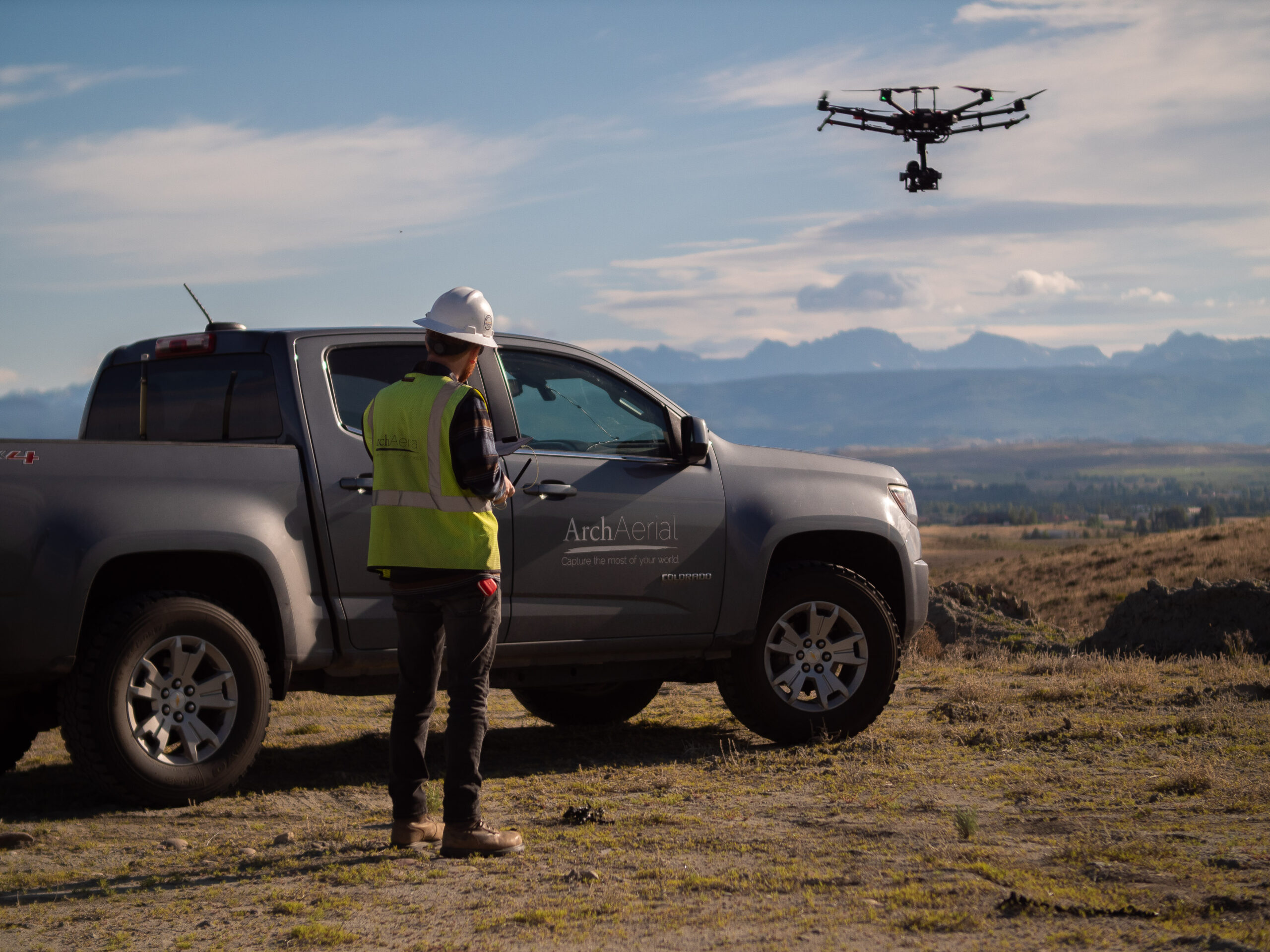
Arch Aerial is a drone services provider with extensive experience operating drones efficiently and at scale for asset operators.
While the company was founded as a hardware designer and manufacturer of compact portable unmanned aerial systems, the company’s mission today as a drone services provider is only aided by that original mission.
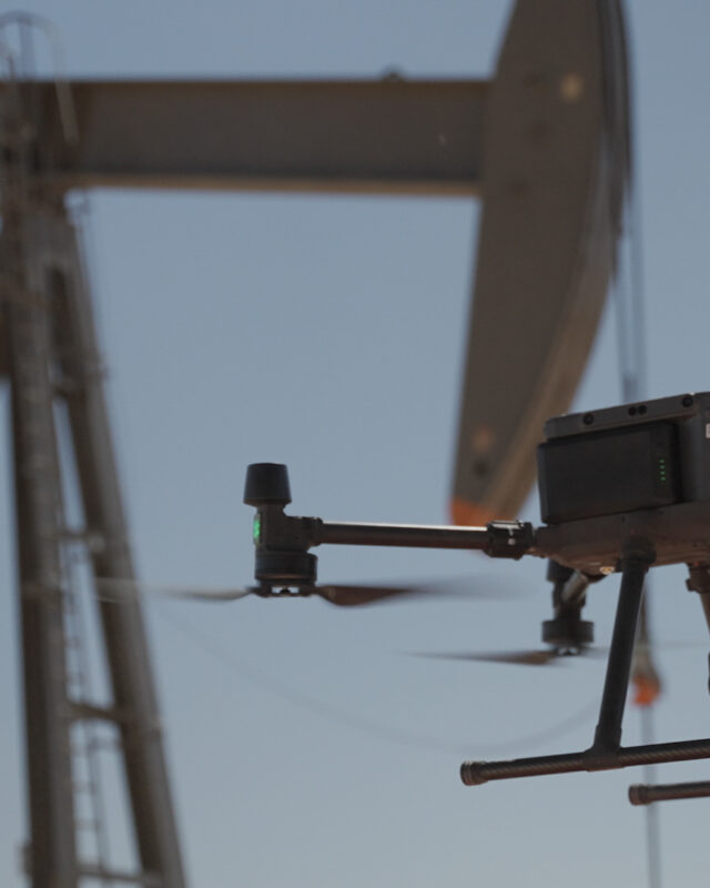
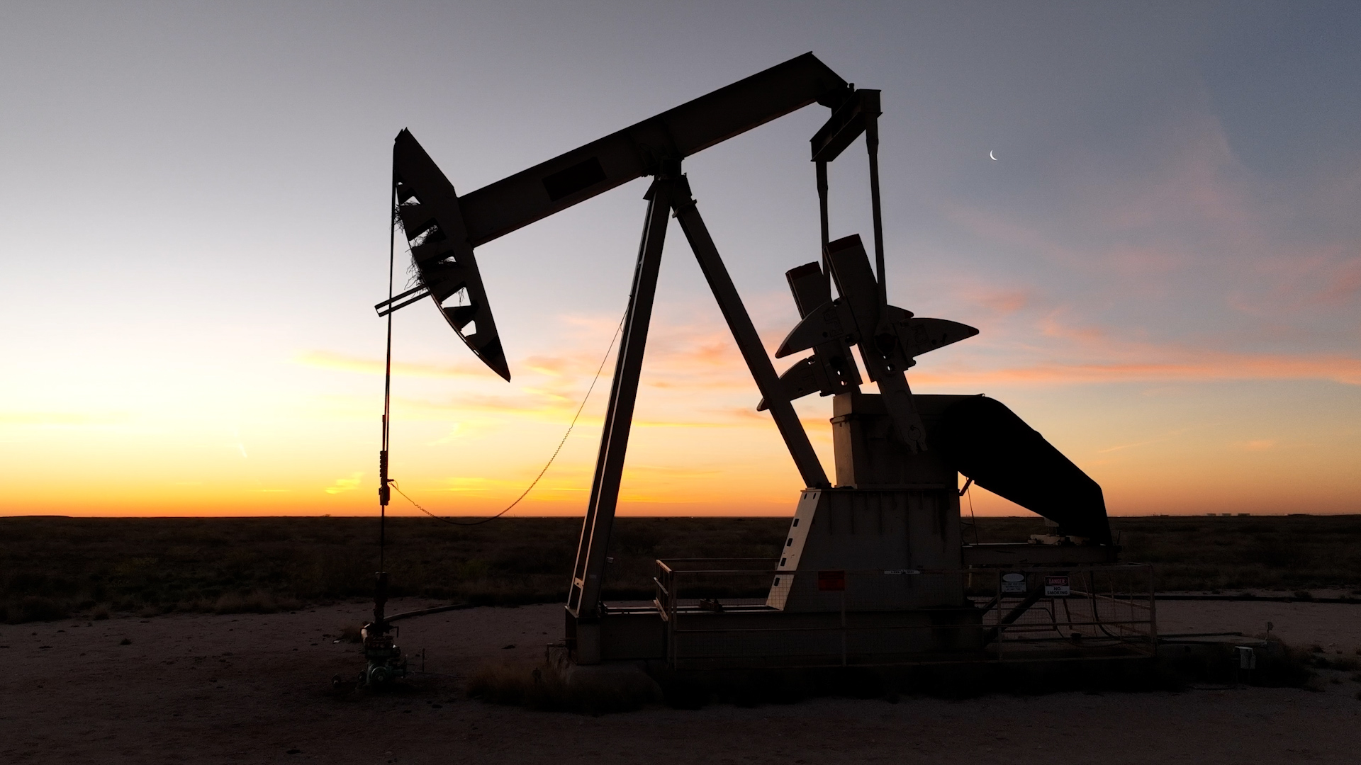
Data built to make a difference.Drone-based data collection and analysis for all parts of the energy supply chain.
From baseline documentation to hyperspectral data collection.
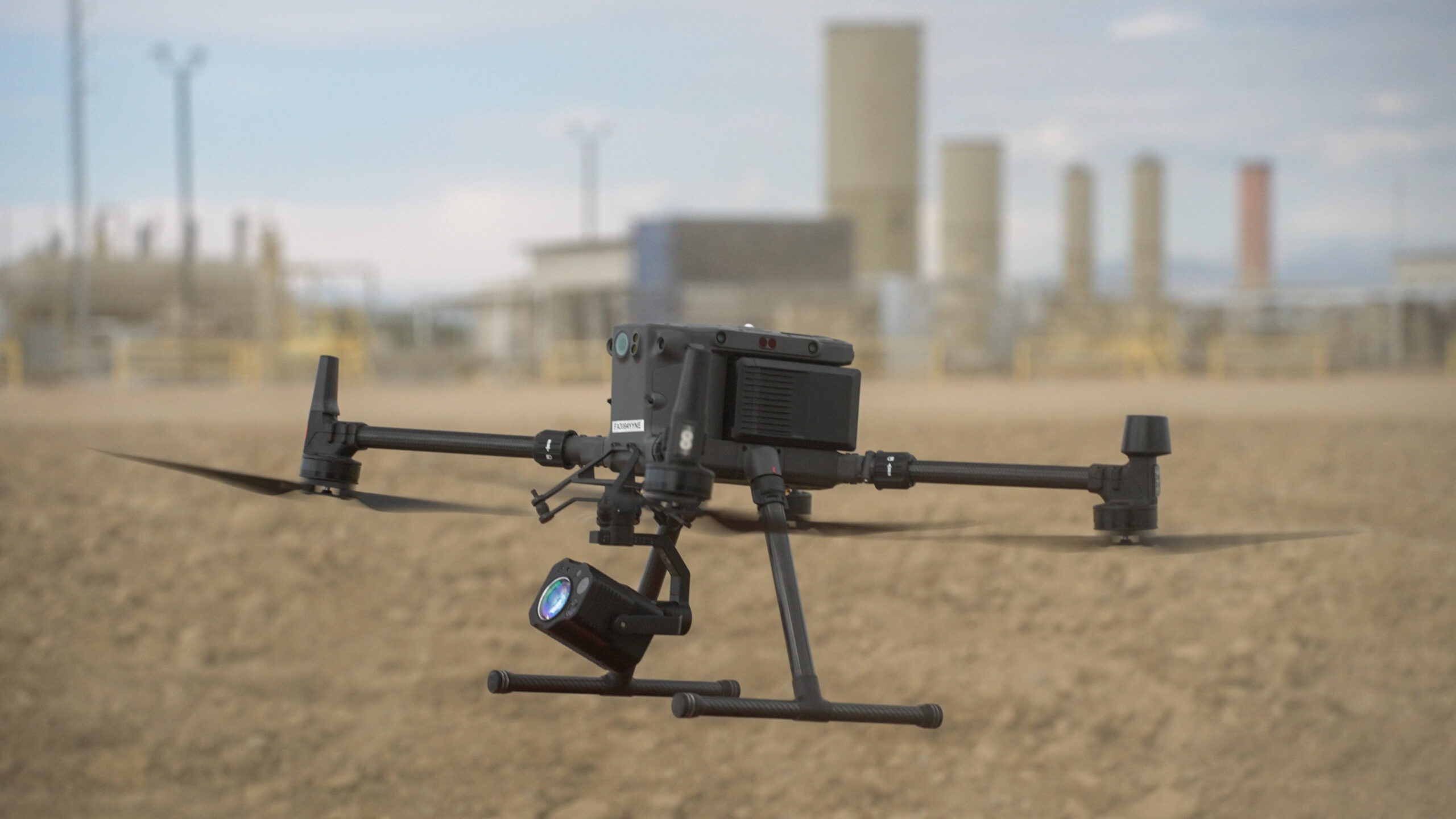
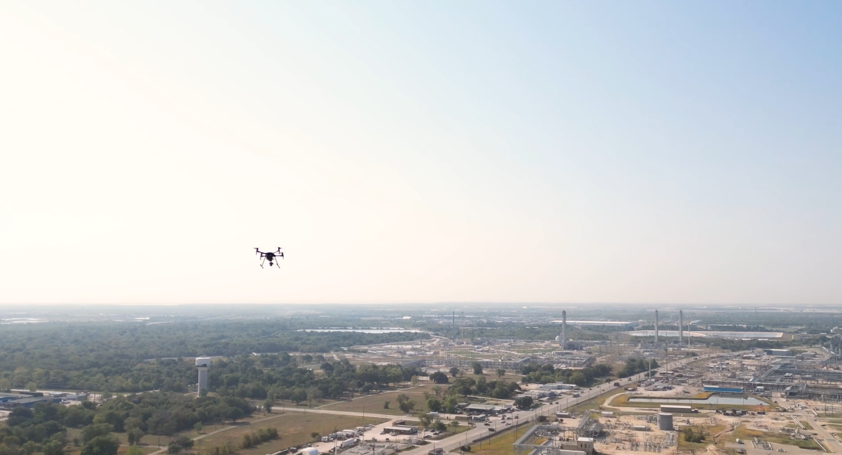
Arch Aerial operates multi-rotor and fixed wing drones to collect baseline mapping, videography, 3D (photogrammetry and LiDAR), leak detection, and other hyperspectral payloads to help operators manage their assets.
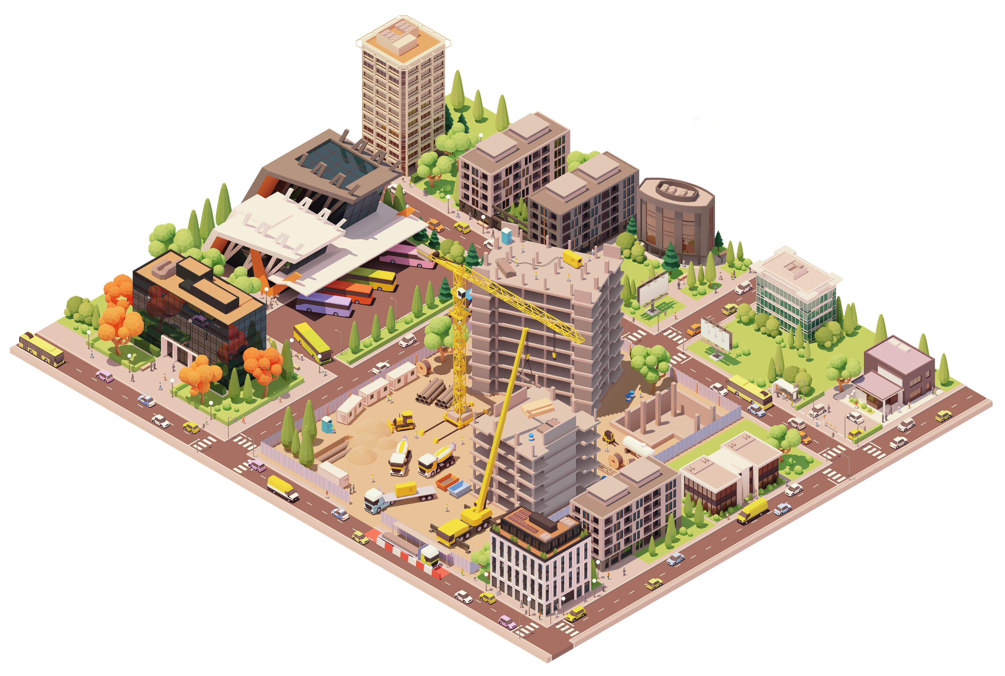
Start Smart with Pre-Construction Drone Mapping and Surveys
Arch Aerial provides high-resolution aerial mapping, LiDAR, and orthomosaic imagery to support site planning, design, and bid preparation. Our drone data helps commercial and industrial general contractors (GCs) evaluate site conditions, streamline permitting, and build more accurate estimates. With fast turnaround times and precise deliverables, we help teams make confident early-stage decisions and reduce project risk before ground is broken.
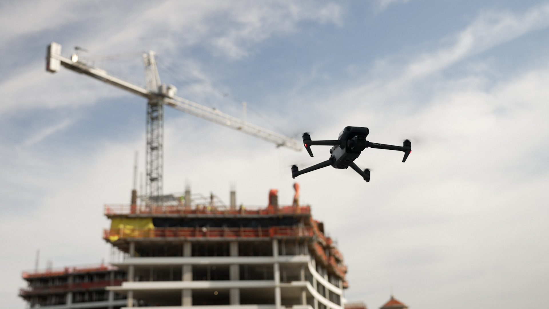
Keep Projects on Track with Mid-Construction Drone Documentation
Arch Aerial’s mid-construction drone services capture regular progress updates, monitor site logistics, and provide visual verification for stakeholders. Our detailed aerial imagery and progress reports help GCs manage timelines, validate subcontractor work, and improve communication with owners. By delivering actionable insights from the air, we help commercial and industrial projects stay on schedule and budget.
Close Strong with Post-Construction Drone As-Builts and Marketing Imagery
Arch Aerial supports GCs at project closeout with detailed as-built aerials, facade inspection data, and high-resolution marketing imagery. Our drone deliverables document final site conditions for warranty, turnover packages, and promotional use. With professional-grade visuals and precise records, we help commercial and industrial general contractors wrap up projects efficiently and showcase their work at its best.
"Arch Aerial's encroachment patrols enabled us to eliminate 176 hours of prep time for Railroad Commission audits."
Targa Resources
Pipeline Supervisor
"Arch Aerial has done a terrific job and they are such a please to work with. They are always on time, professional and the quality of their drone photos and videos are outstanding."
Turner
Project Manager
"They are quick to respond to our requests and we can count on them to deliver good quality images. I highly recommend Arch Aerial for your construction project aerials needs!"
Spring Valley Construction
Project Manager
FAQHere are some of the questions we get most often:
Reach out to us via the contact form, or give us a call on our main line! We typically start with a discussion to get the relevant details, and then deliver a proposal as quickly as you need it. If you’re interested in learning more about what we do for your industry, we love to execute free demonstrations.