Let us help you capture the most of your world.Aerial LiDAR for Water Infrastructure Operators
High-Accuracy 3D Terrain & Asset Mapping for Utilities and Municipal Water Systems
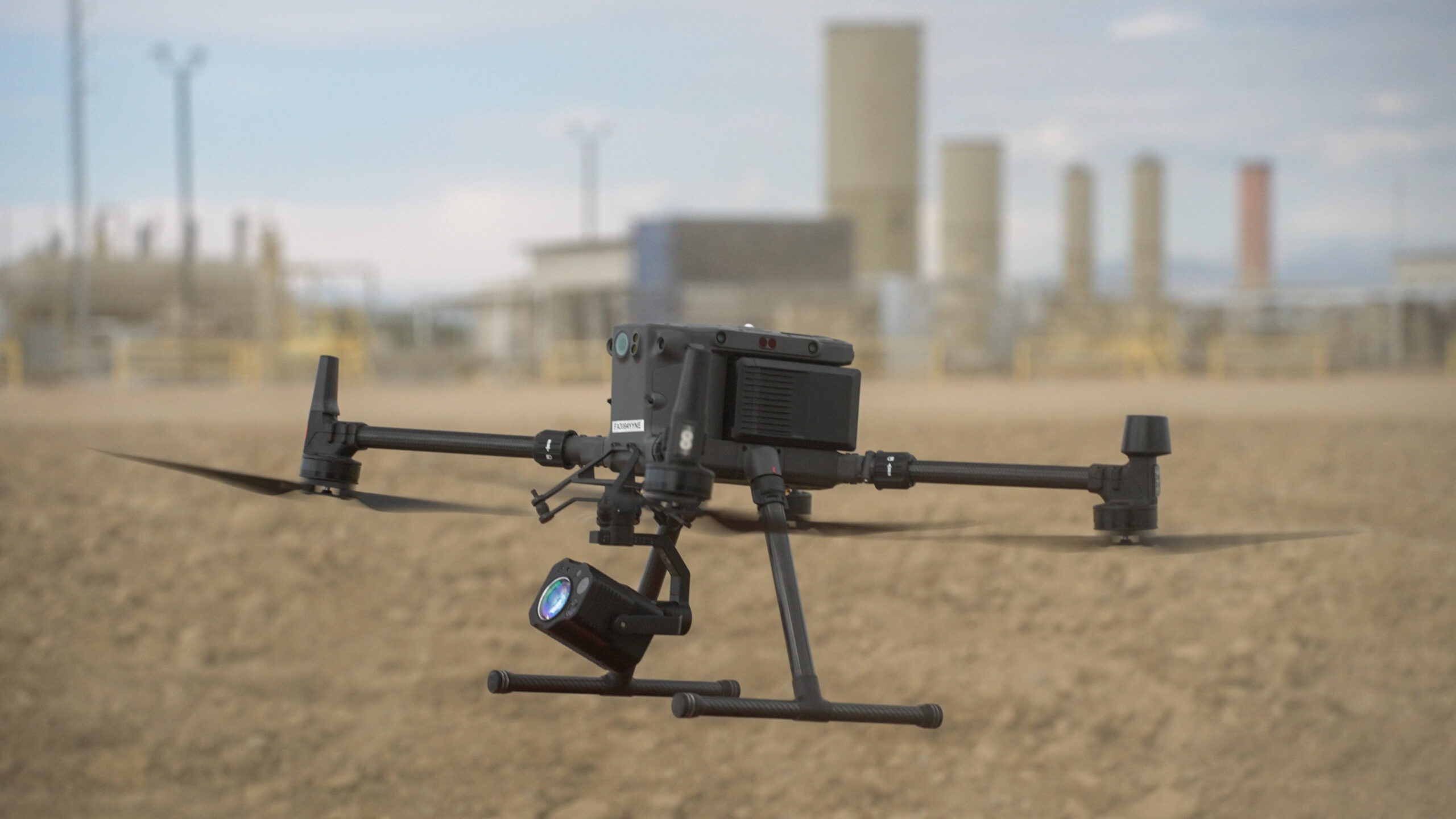
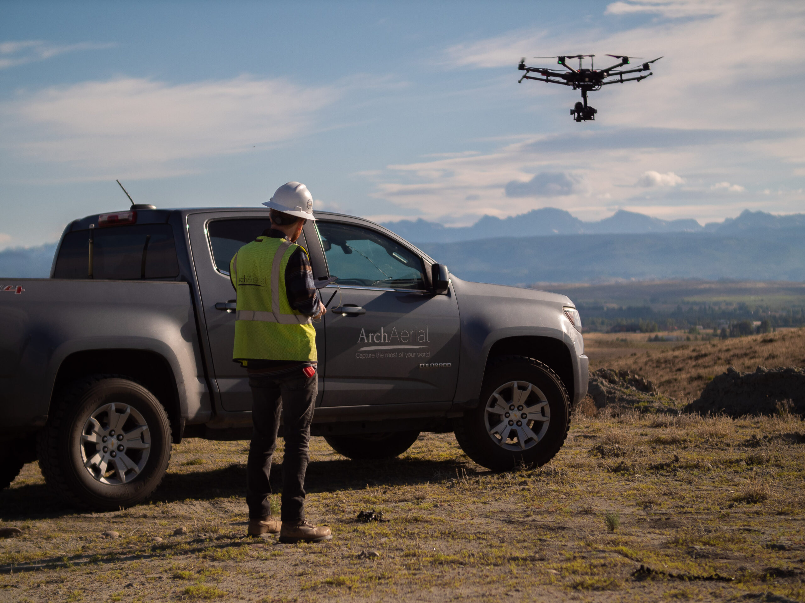
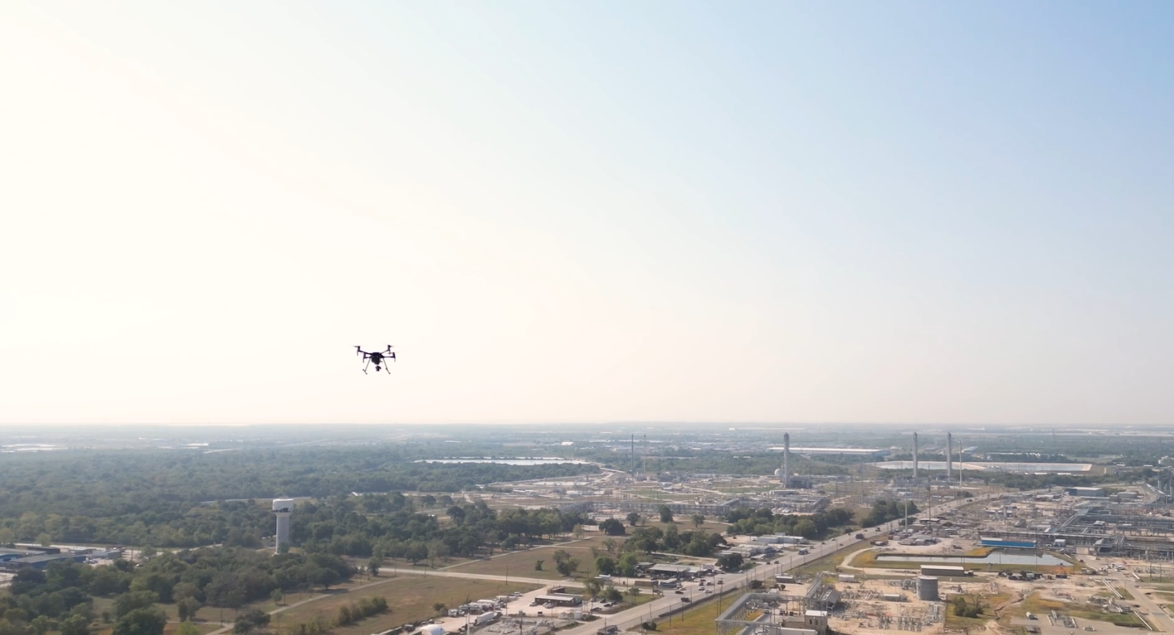
At Arch Aerial LLC, we deliver precision aerial LiDAR services to support planning, maintenance, and expansion of water infrastructure systems. Our LiDAR-equipped drones provide dense, accurate 3D point cloud data that enables municipalities, engineers, and utility operators to map and model terrain, pipelines, easements, and related assets with confidence and speed.
Get ‘ride-along-style’ visibility . . . but from your desktop, and in a format that you can easily share with your coworkers or stakeholders for your project.
Advanced LiDAR Mapping for Smarter Utility Management
Using survey-grade LiDAR sensors, RTK/PPK workflows, and GIS-ready deliverables, our aerial mapping solutions help you:
Map pipeline rights-of-way and utility corridors
Generate accurate digital elevation models (DEMs) and surface models (DSMs)
Identify terrain changes and erosion risk
Support engineering design and hydrologic modeling
Plan expansions and route realignments
Monitor infrastructure encroachments and vegetation
Why Choose Arch Aerial for Aerial LiDAR Services?
Utility & Municipal Expertise – We understand the mapping needs of public works, water utilities, and engineering consultants. Survey-Grade Accuracy – Collect high-density point clouds with centimeter-level vertical and horizontal precision. Efficient Coverage – Map large areas and long linear assets faster and safer than ground-based methods. Data-Driven Deliverables – Receive classified point clouds, contours, DEMs, and GIS/CAD-ready files tailored to your needs.
Enhancing Visibility Beneath and Above the Surface
From pipeline route planning to floodplain modeling, Arch Aerial LLC’s LiDAR services provide a scalable solution for managing infrastructure in complex environments. Whether in urban corridors or rural expanses, we help municipalities and water utilities see more—safely and efficiently.
Ready to Elevate Your Water Infrastructure Mapping?
Partner with Arch Aerial LLC for reliable, high-resolution LiDAR mapping services that support better decisions and smarter infrastructure investments. Contact us today to discuss your project and get a custom LiDAR mapping solution that fits your scope and budget.