Let us help you capture the most of your world.3D Modeling for Water Infrastructure Operators
Accurate, High-Resolution 3D Models for Utility Assets, Facilities & Planning
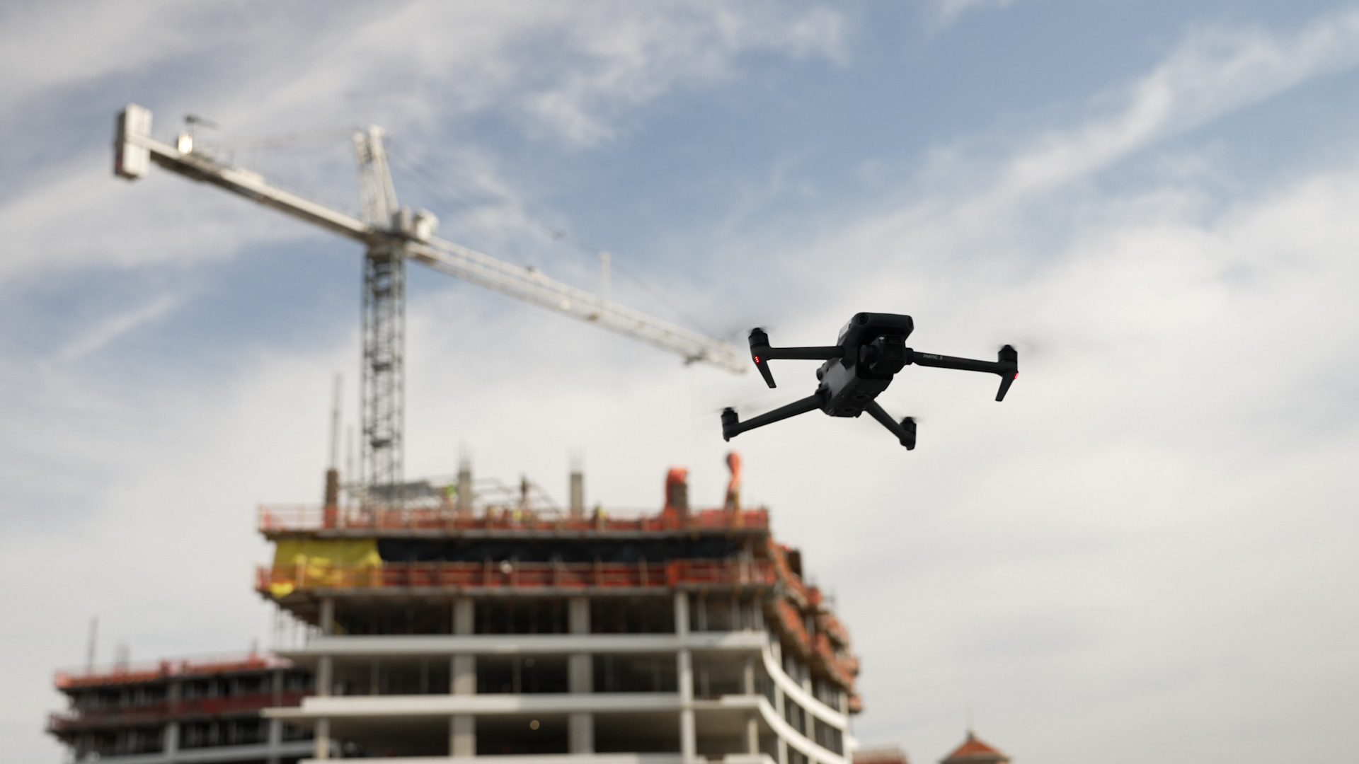
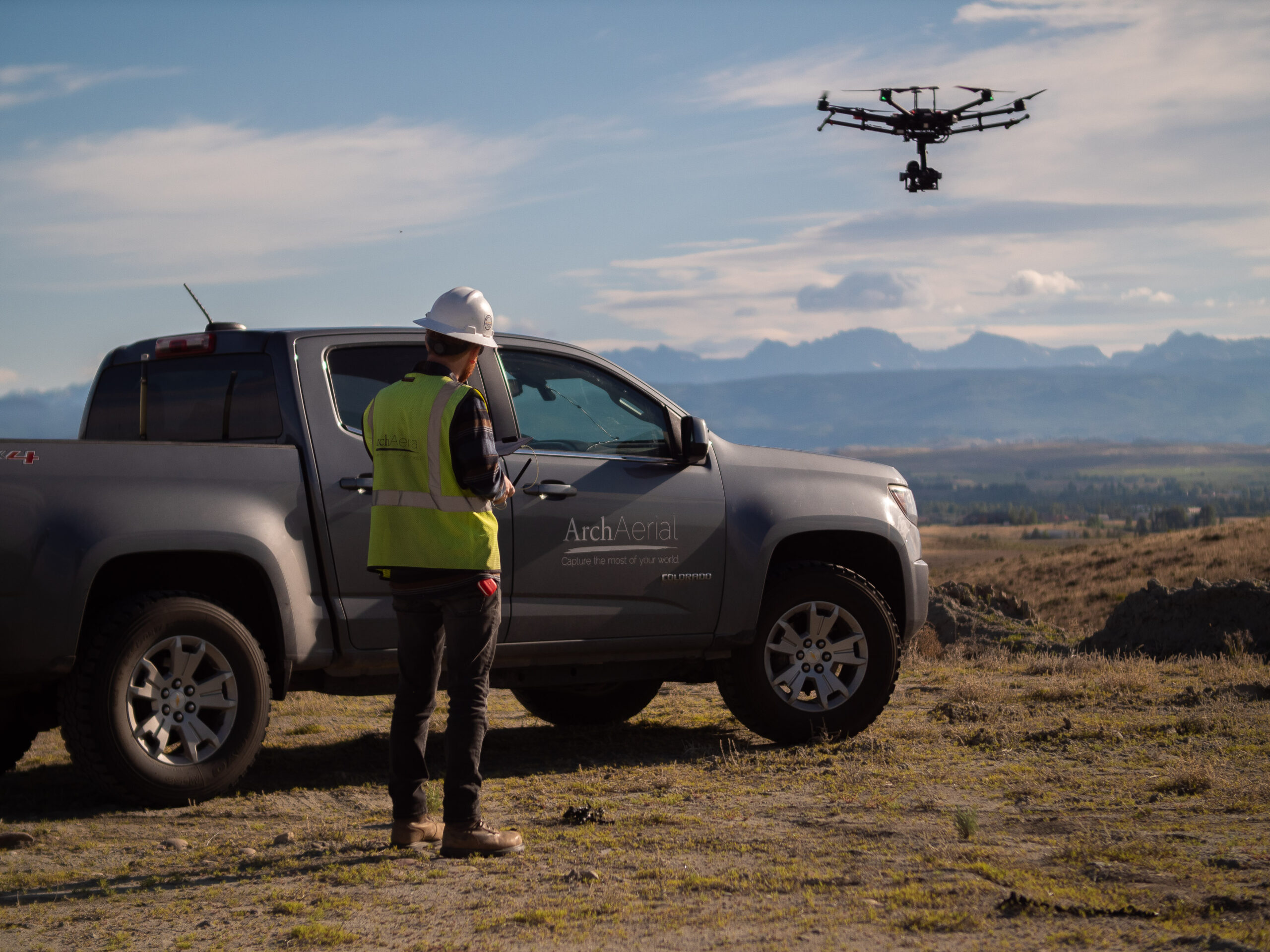
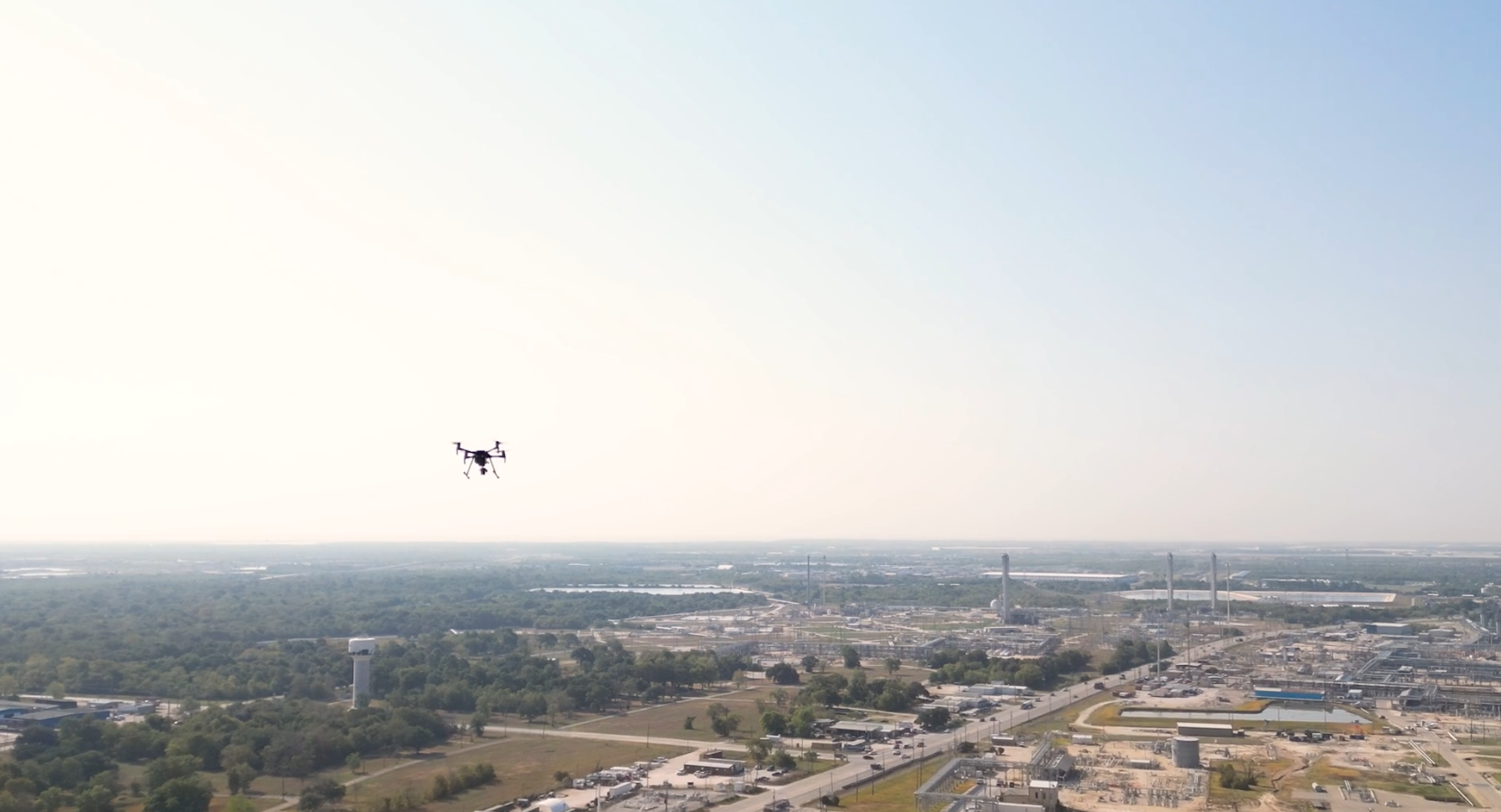
At Arch Aerial LLC, we deliver aerial 3D modeling services to help municipalities and water infrastructure operators visualize and manage complex assets with precision. Whether you’re planning upgrades, inspecting facilities, or communicating with stakeholders, our drone-based 3D models provide a powerful digital twin of your infrastructure—streamlining decision-making and improving spatial understanding.
Photorealistic, Geospatially Accurate Models
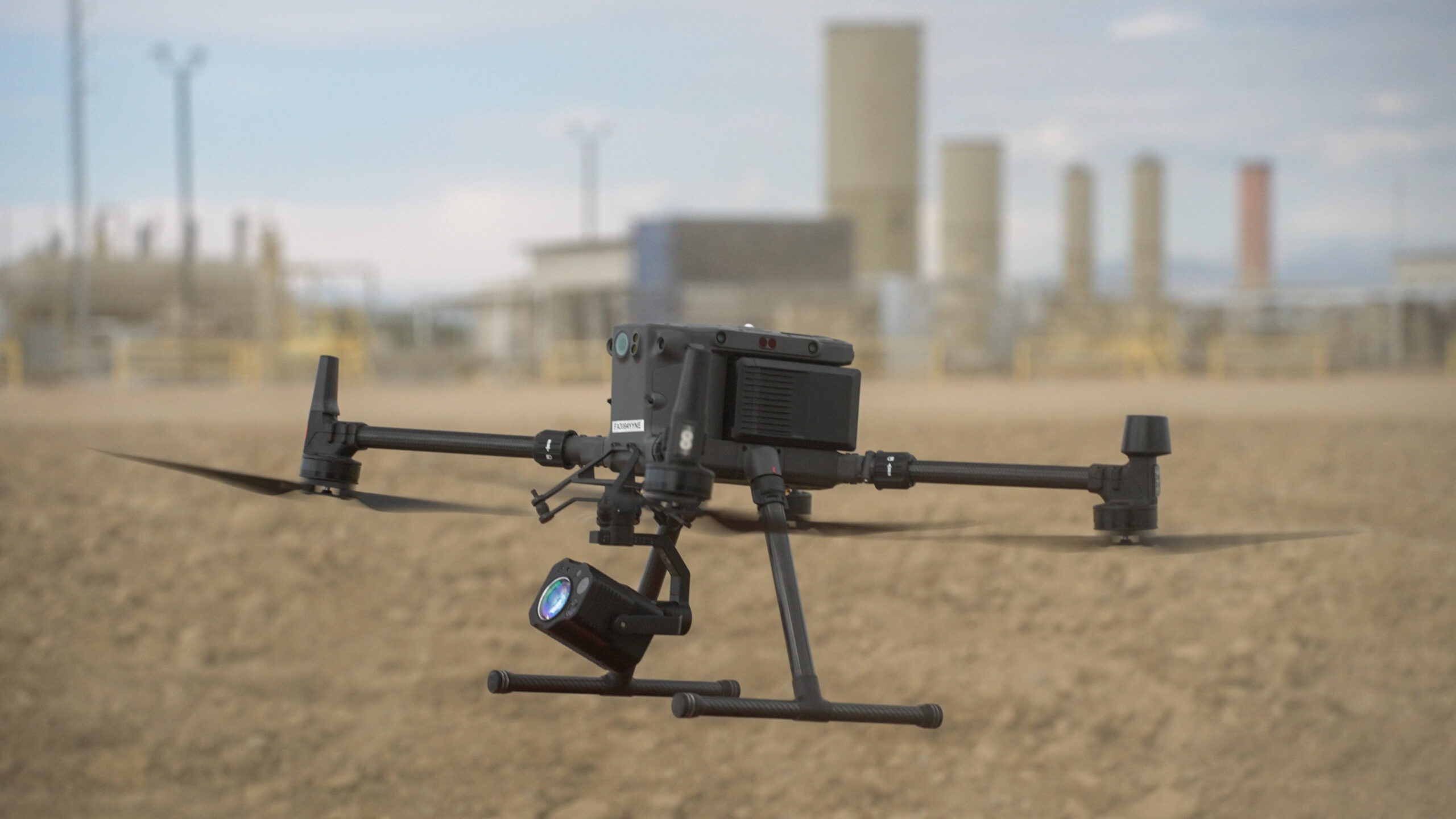
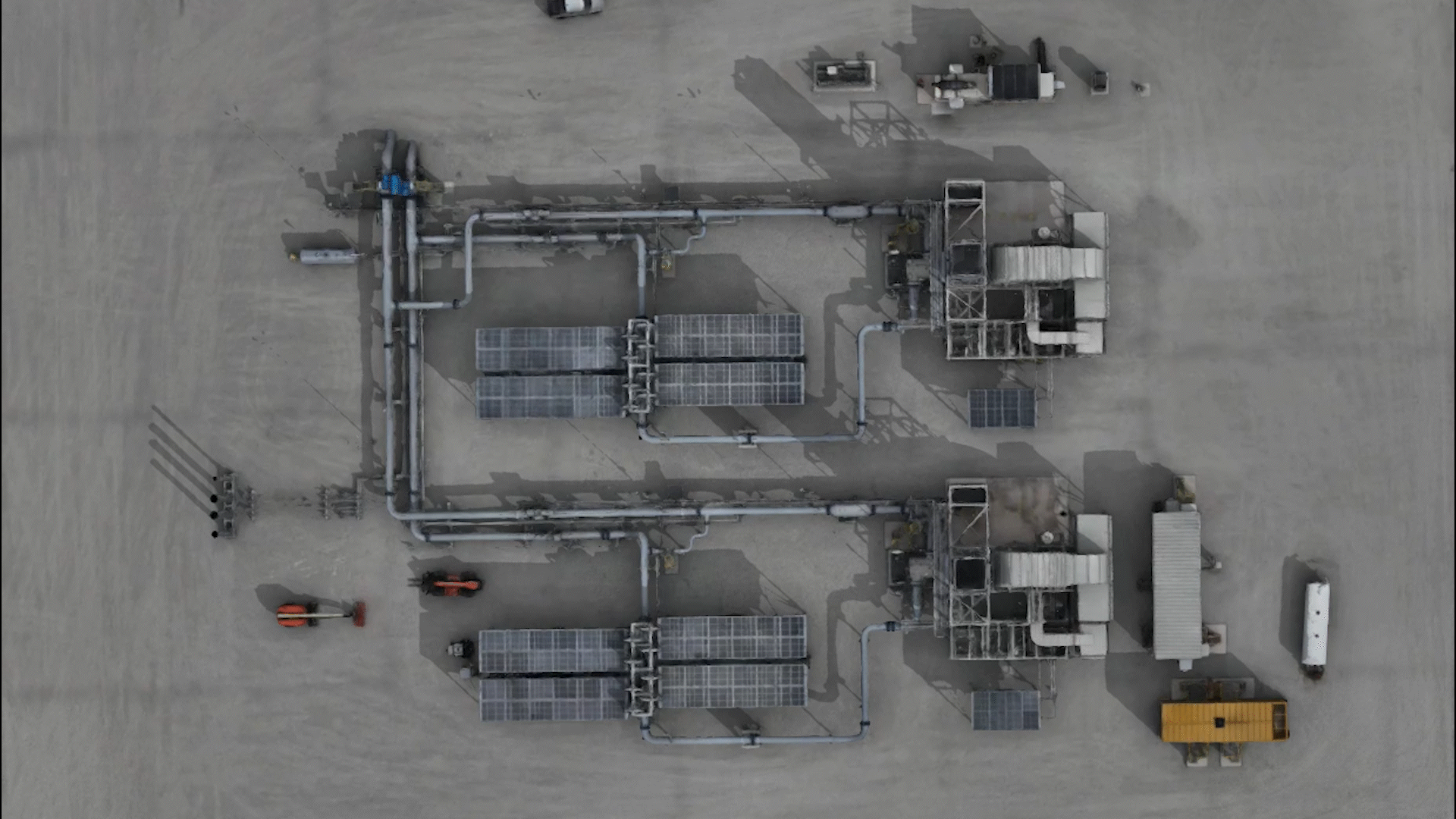
Using drone photogrammetry, LiDAR integration, and GIS workflows, our team creates high-resolution 3D models tailored to your infrastructure needs, including:
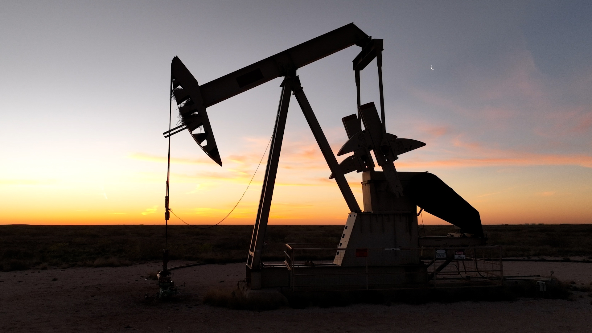
Water treatment plants and pump stations
Storage tanks, towers, and distribution facilities
Pipeline corridors and right-of-way visualization
Terrain and topographic context for planning
Pre- and post-construction documentation
Stakeholder presentations and public engagement
Why Choose Arch Aerial for 3D Modeling?
Municipal & Utility Expertise – We model infrastructure with awareness of permitting, engineering, and asset management requirements. True-to-Scale Accuracy – Capture centimeter-level detail with drone imagery and georeferenced outputs. Interactive Visual Deliverables – Receive mesh models, textured point clouds, and web-friendly 3D viewers. Streamlined Data Collection – Reduce manual site visits and get full-facility context in a fraction of the time.
See Your Infrastructure from Every Angle
Whether you’re building new facilities or maintaining aging assets, our aerial 3D modeling services offer a smart way to document, visualize, and share the current state of your water systems. Arch Aerial LLC helps you unlock spatial insights—quickly, safely, and cost-effectively.
Ready to Bring Your Infrastructure into 3D?
Get a clearer picture of your water infrastructure with expert aerial 3D modeling from Arch Aerial LLC. Contact us today to schedule a consultation and learn how our models can enhance your planning, maintenance, and stakeholder communication.