Let us help you capture the most of your world.Aerial Videography for Water Infrastructure Right of Ways
Clear, Visual Documentation for Utility Corridors, Easements & Water System Planning
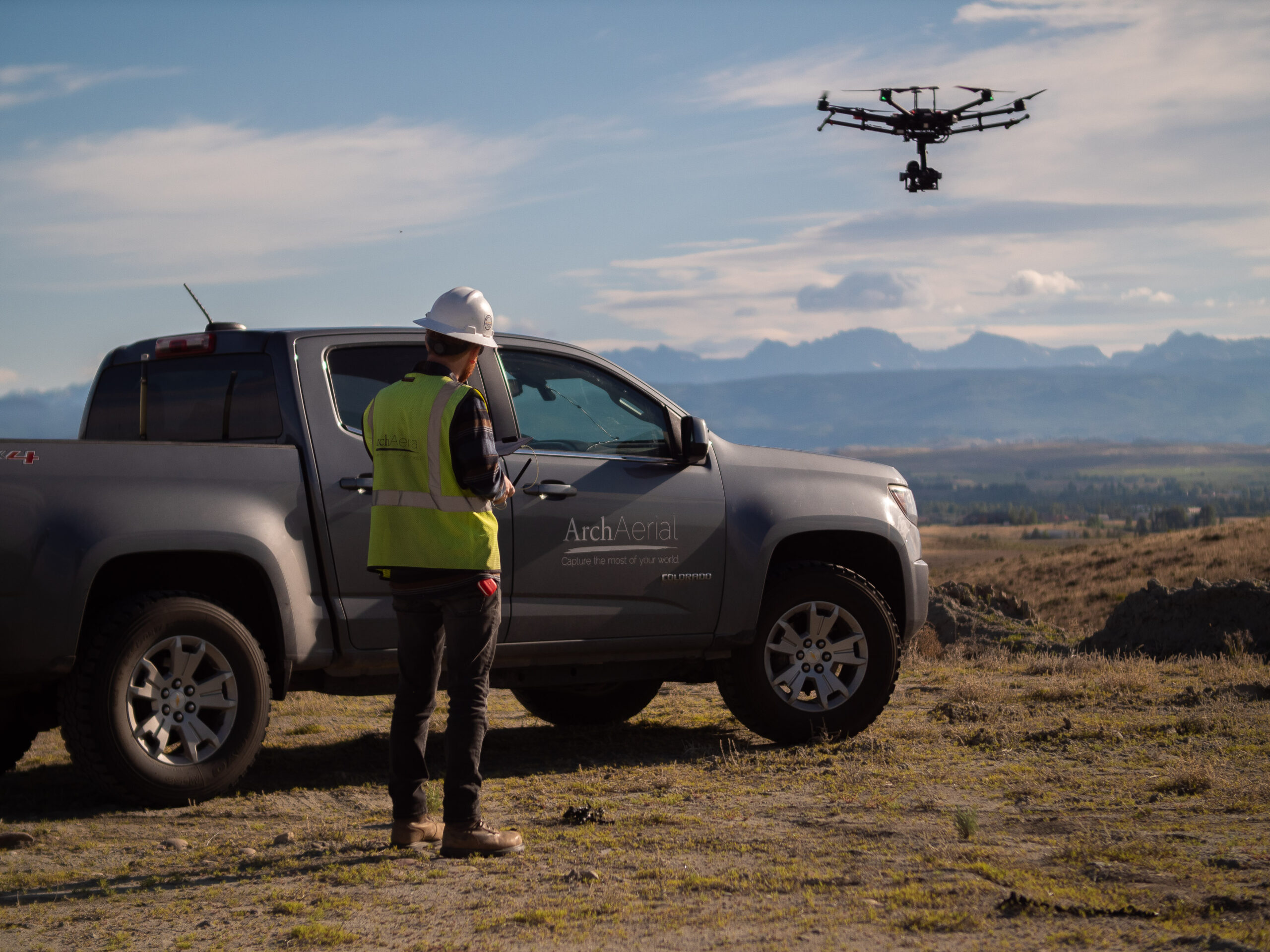
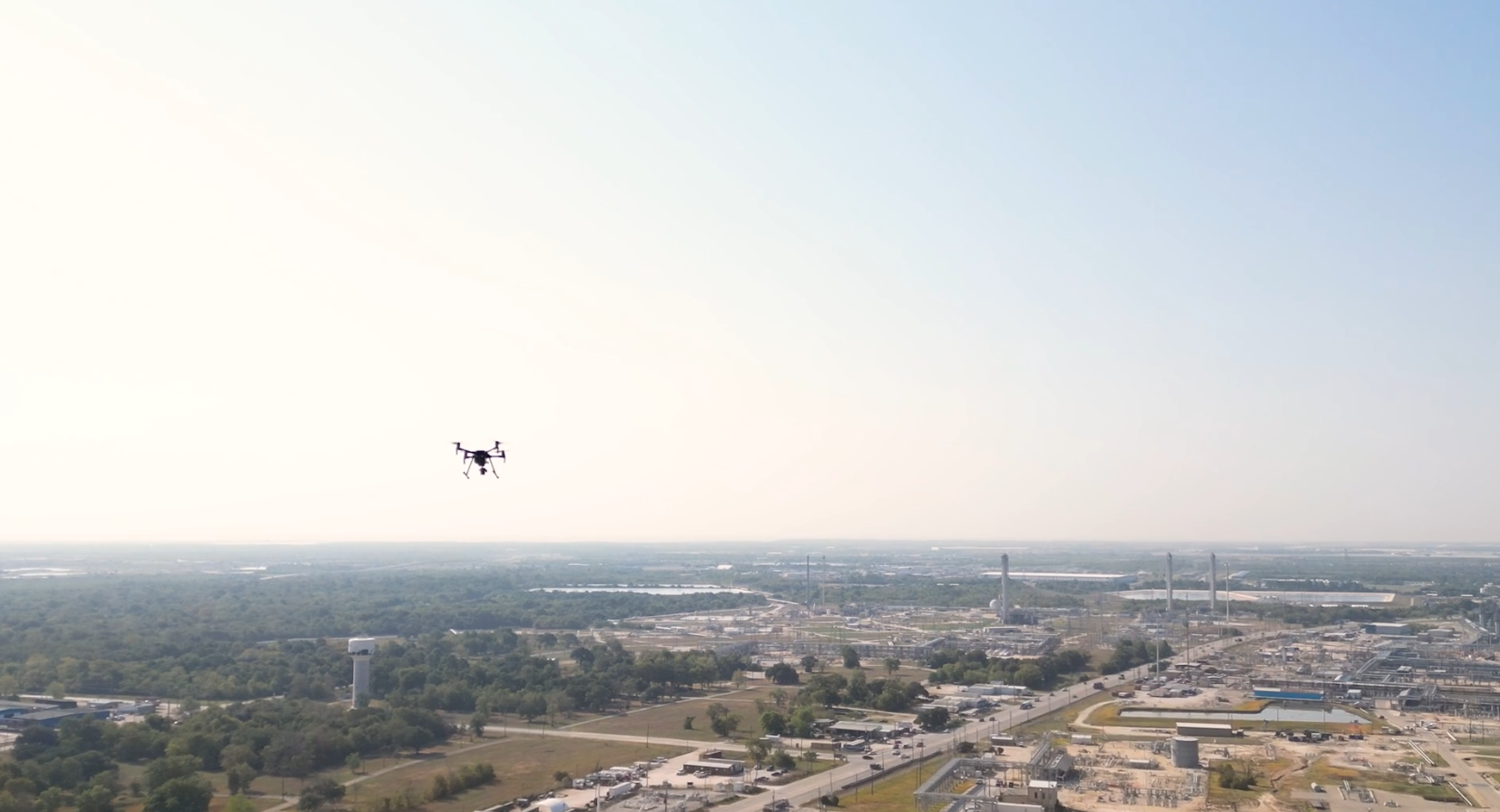
At Arch Aerial LLC, we provide aerial videography services to help utilities, municipalities, and water infrastructure operators visually document, monitor, and communicate the status of water-related rights-of-way (ROWs). Whether you’re preparing for construction, inspecting existing lines, or engaging stakeholders, our drone video services deliver clear, high-resolution visuals that enhance situational awareness and project coordination.
Visual Insights Across the Water Infrastructure Lifecycle
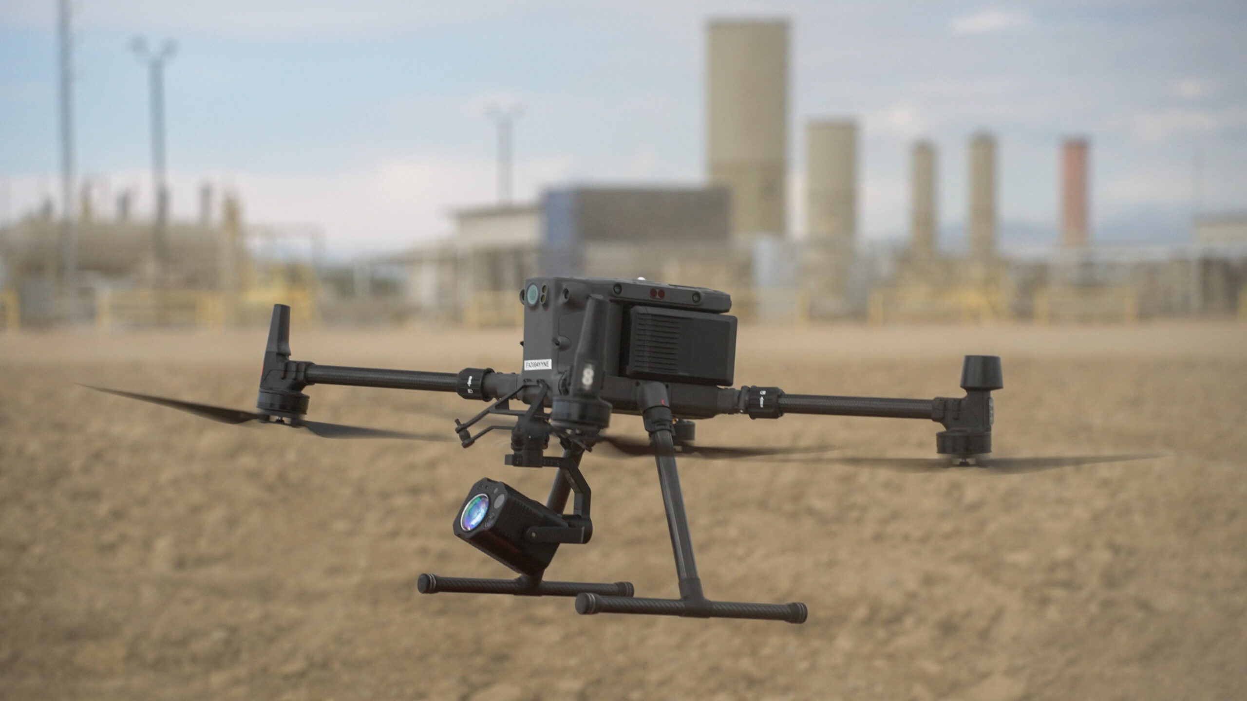
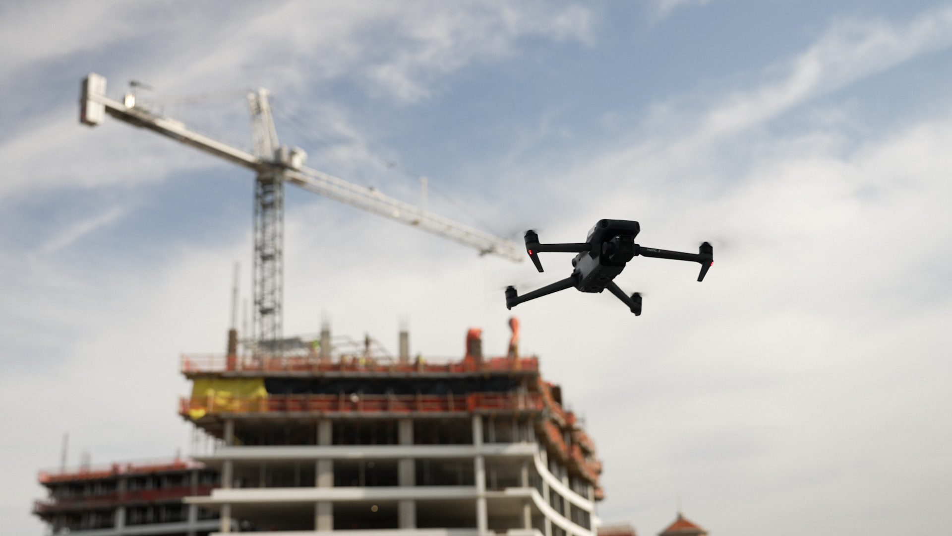
Our FAA-certified pilots use GPS-stabilized drones and 4K+ video equipment to produce high-quality footage that supports:
Pre-construction documentation of proposed routes
Easement and access road evaluations
Progress tracking on trenching and installation
ROW inspections and maintenance planning
Environmental and permitting compliance
Public engagement and stakeholder communication
Why Choose Arch Aerial for Water ROW Videography?
Water Infrastructure Focus – We understand the ROW documentation needs of water utilities and municipalities. Cinematic Aerial Footage – Deliver smooth, detailed video using GPS-guided flight paths and stabilized gimbals. Efficient & Safe Operations – Cover miles of ROW quickly without disrupting sensitive or active sites. Custom Video Deliverables – From raw flight video to fully edited clips with titles, maps, and overlays—tailored to your use case.
Supporting Smarter Planning and Public Transparency
Aerial videography offers a valuable tool for internal teams, public stakeholders, and permitting authorities to understand ROW conditions, evaluate construction progress, and support long-term asset planning for water systems.
Ready to See the Full Picture?
Partner with Arch Aerial LLC to capture your water infrastructure ROW with professional, high-definition aerial videography. Contact us today to learn how our video services can improve project visibility, documentation, and communication.