Data built to make a difference.Aerial 3D Modeling for Midstream Infrastructure
High-Resolution Digital Twins for Pipeline Facilities and Assets
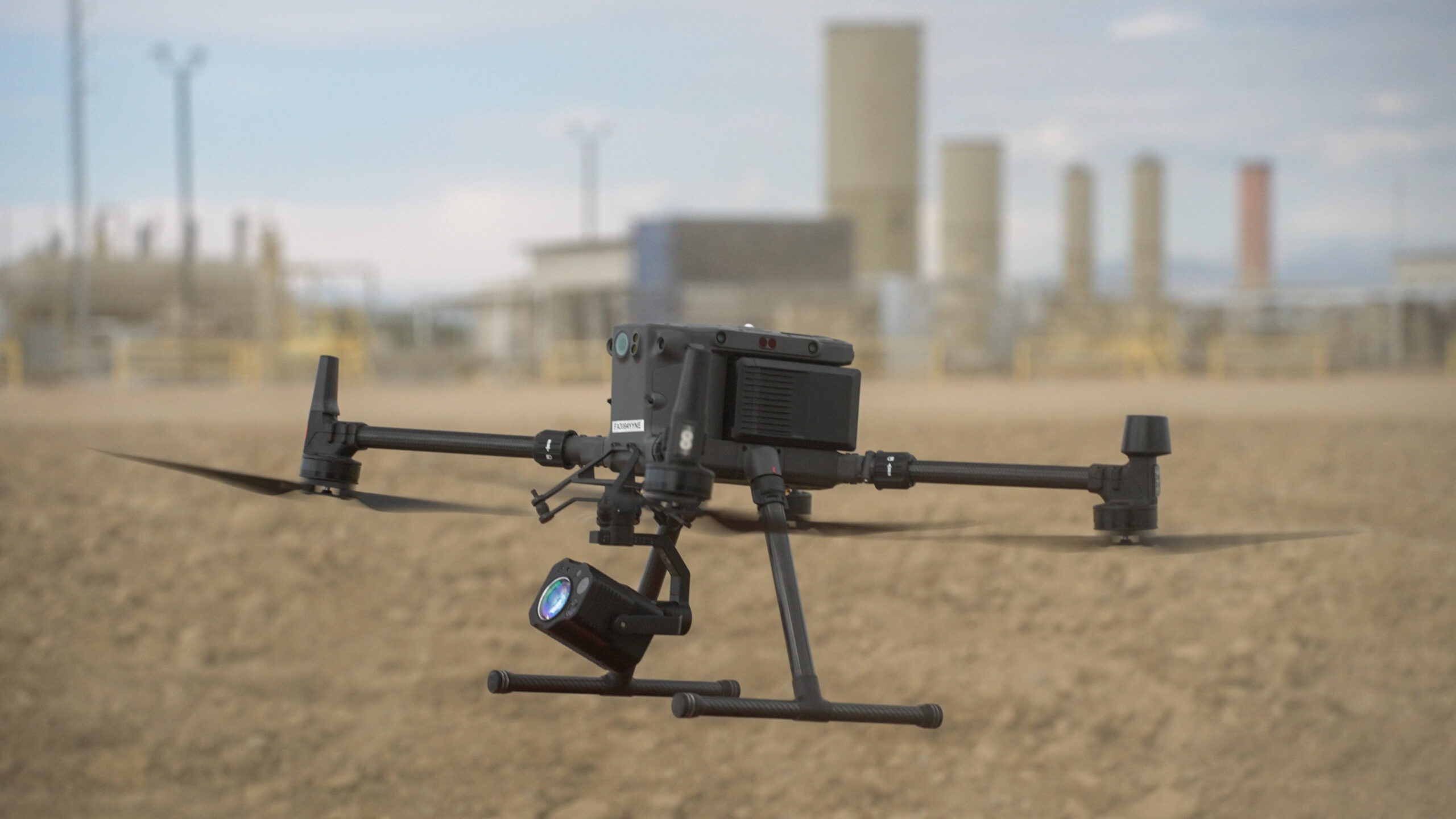
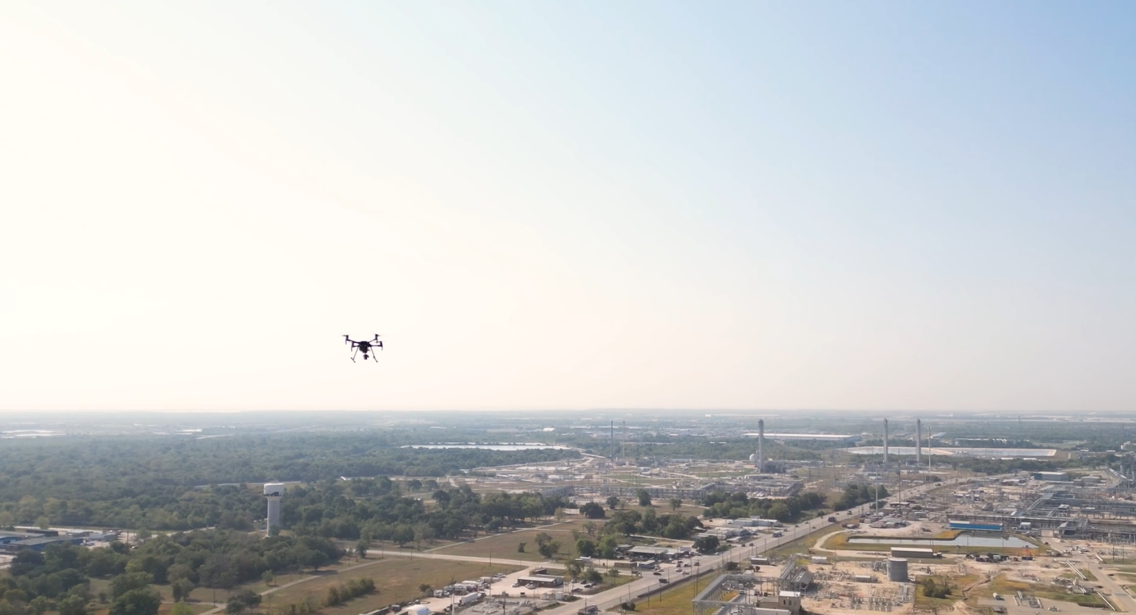
At Arch Aerial LLC, we provide advanced aerial 3D modeling services tailored to midstream oil and gas operators. Using drone-based photogrammetry and LiDAR, we generate detailed, georeferenced digital twins of pipelines, facilities, and ROWs to support engineering, planning, and asset management workflows.
Drone-Captured 3D Models for Operational Insight
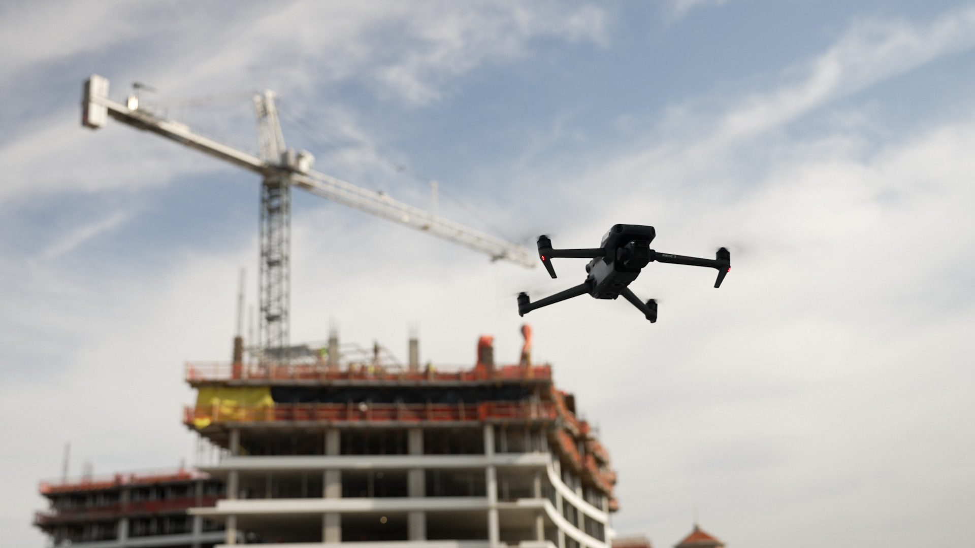
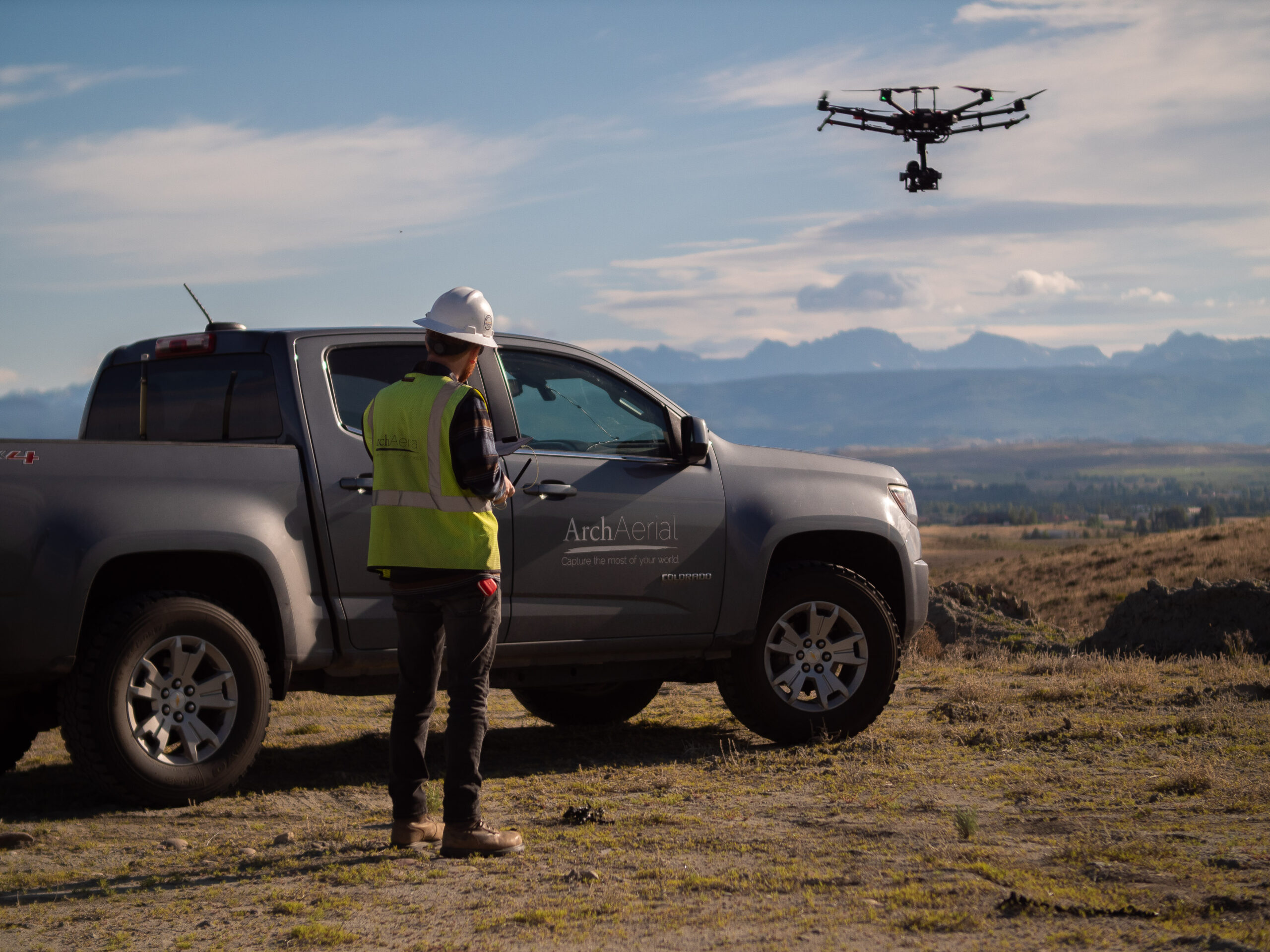
Our FAA-certified drone teams use high-resolution sensors to capture aerial imagery and LiDAR data, which we process into accurate 3D surface models for a wide range of midstream use cases:
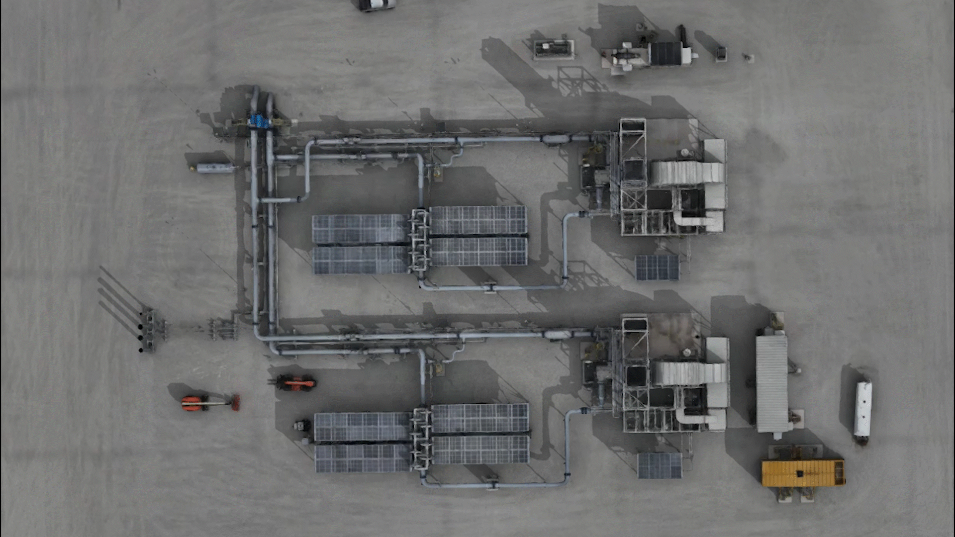
3D site modeling of compressor stations and terminals
As-built documentation for new infrastructure
Pre-construction terrain and topography mapping
Progress tracking and volumetric measurements
GIS-integrated asset visualization
Inspection planning and facility simulations
Ready to Build Your Digital Twin from the Sky?
Bring your pipeline infrastructure to life in 3D with drone-based modeling by Arch Aerial LLC. Contact us today to learn how our aerial 3D modeling services can support your engineering, inspection, and planning efforts.
Why Choose Arch Aerial for 3D Modeling?
Midstream Industry Experience – We model pipeline corridors, facilities, and right-of-way features with precision and accuracy.
Advanced Data Capture – Capture your site with drone-based photogrammetry or LiDAR depending on project scope and terrain.
Georeferenced & Scalable Models – Integrate 3D outputs directly into your GIS, CAD, or BIM environments.
Custom Deliverables – Receive orthomosaics, point clouds, mesh models, and textured surfaces tailored to your project specs.
Ready to Build Your Digital Twin from the Sky?
Bring your pipeline infrastructure to life in 3D with drone-based modeling by Arch Aerial LLC. Contact us today to learn how our aerial 3D modeling services can support your engineering, inspection, and planning efforts.