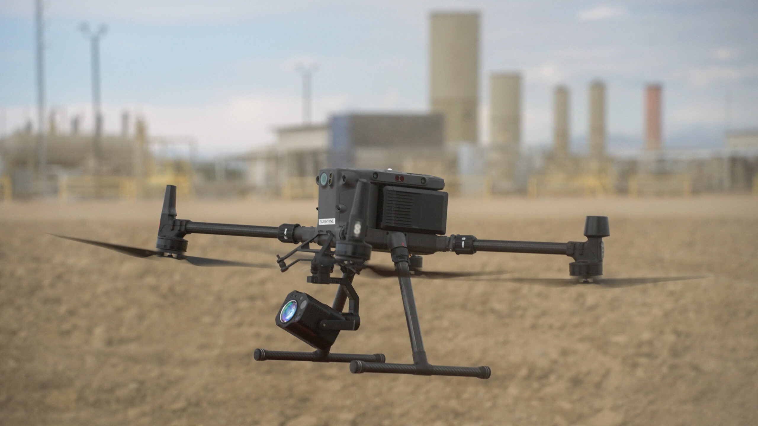
High density LIDAR for visualization of assets.Aerial LiDAR Mapping for Midstream Infrastructure
High-Density Terrain & Asset Data for Pipeline Planning and Monitoring
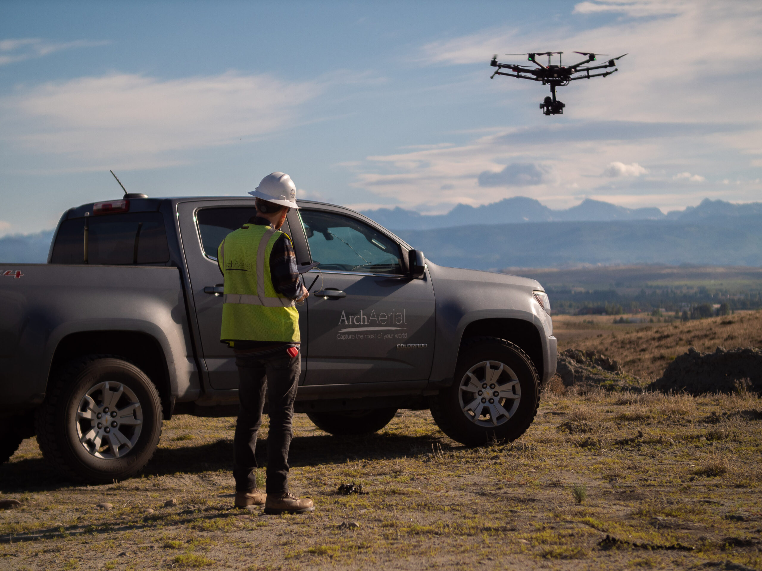
At Arch Aerial LLC, we deliver precision aerial LiDAR services to support the unique mapping and inspection needs of midstream oil and gas operators. Our drone-based LiDAR solutions provide accurate, high-resolution elevation data and surface models—empowering engineering, construction, and environmental teams with actionable geospatial insights.
Drone-Based LiDAR Solutions for Midstream Operators
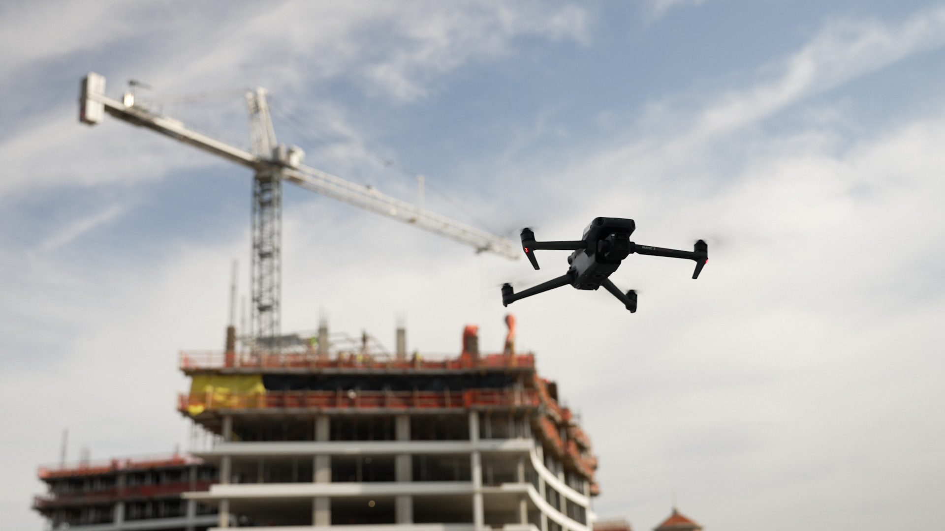
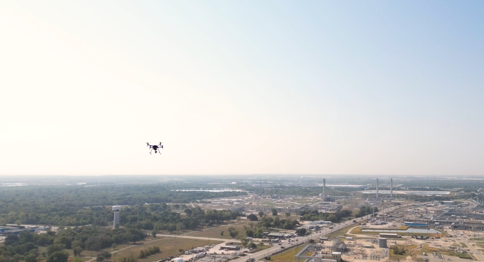
Using FAA-certified drone pilots and state-of-the-art LiDAR payloads, we collect detailed 3D point cloud data to map complex terrain, vegetation, and infrastructure across pipeline corridors and facilities. Common use cases include:
Corridor mapping for pipeline route planning
Terrain and elevation modeling for design & grading
Vegetation and encroachment monitoring
Volumetric analysis of material stockpiles
As-built and change detection surveys
Integration with GIS, CAD, and BIM systems
Ready to Elevate Your Spatial Intelligence?
Enhance your pipeline and facility operations with high-resolution aerial LiDAR mapping from Arch Aerial LLC. Contact us today to discuss your project and discover how our airborne solutions can support your midstream geospatial needs.
Why Choose Arch Aerial for LiDAR Mapping?
Midstream-Focused Deliverables – We tailor outputs to pipeline and facility requirements, from bare-earth DEMs to classified point clouds. High-Accuracy Data Capture – Our LiDAR sensors deliver centimeter-level accuracy across variable terrain and canopy cover. Efficient, Safe, and Scalable – Cover large or inaccessible areas faster and more safely than traditional survey methods. Data-Ready Formats – Receive LAS, LAZ, DEM, DSM, and contour files ready for engineering, design, and compliance workflows.
Precision Mapping from the Air
Whether you’re designing new assets or monitoring existing infrastructure, aerial LiDAR provides unmatched surface detail and accuracy. Arch Aerial LLC helps midstream operators reduce field time, improve planning accuracy, and maintain better visibility across expansive infrastructure networks.