Data built to make a difference.Drone-based data collection and encroachment reporting for pipeline operators.
Aerial encroachment patrols that make your life easier.
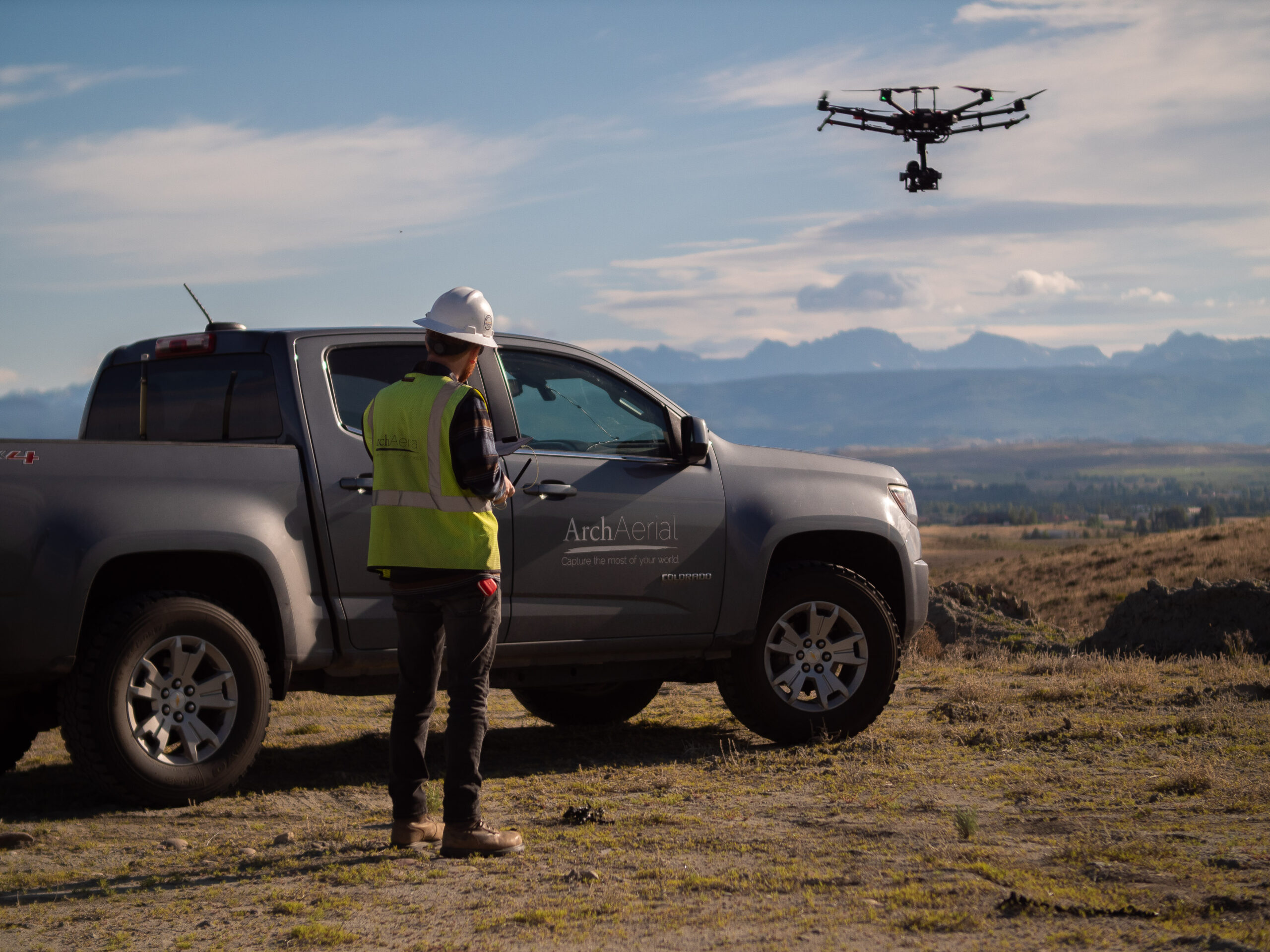
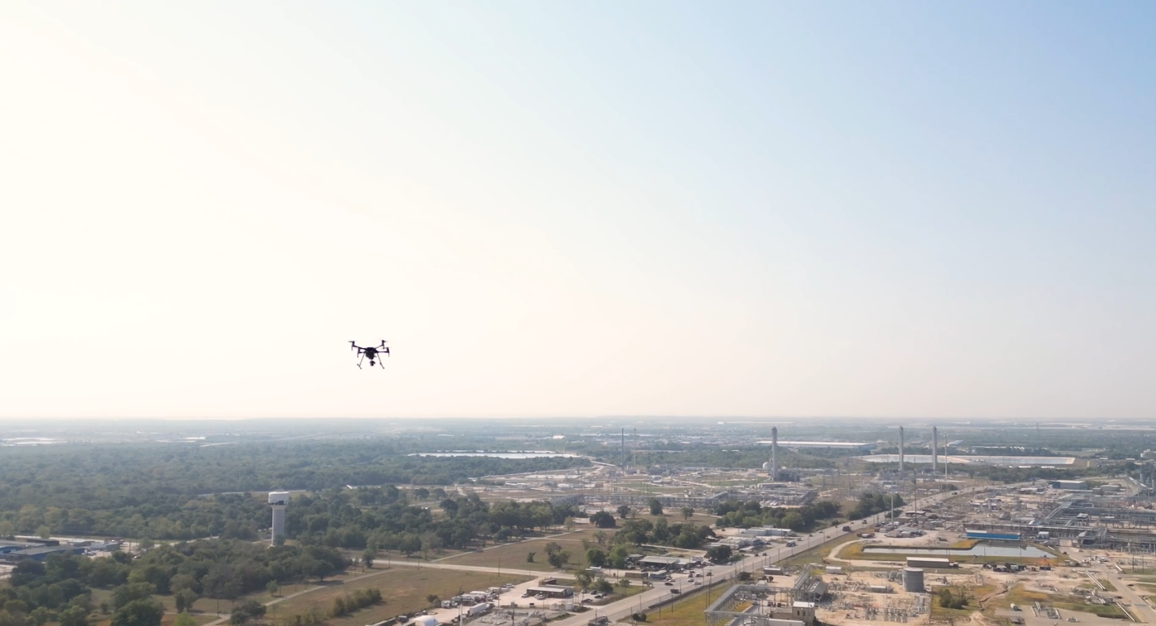
Protect your assets, ensure compliance, and maintain operational integrity with Arch Aerial LLC’s industry-leading pipeline aerial encroachment patrol services. Designed specifically for midstream oil and gas companies, our patrol flights provide accurate, high-resolution aerial data to identify and document encroachments, right-of-way violations, and potential third-party risks—before they become liabilities.
Refined Products
Transmission Systems
Why Aerial Patrols Matter for Pipeline Operators
Encroachments along pipeline rights-of-way (ROW) can lead to safety hazards, regulatory fines, and costly repairs. Regular aerial patrols are essential for:
Regulatory compliance with PHMSA and state-level oversight
Early detection of unauthorized construction, excavation, or vehicle activity
Documentation of vegetation overgrowth, erosion, or structural concerns
Reducing risk of third-party damage (TPD) through proactive monitoring
What We Offer
Arch Aerial LLC delivers turnkey aerial patrol solutions tailored to your pipeline network. Our services include:
Scheduled and on-demand aerial inspections
High-resolution photo documentation along ROW corridors
Custom GIS deliverables with encroachment annotations
Regulatory-ready reporting aligned with your compliance protocols
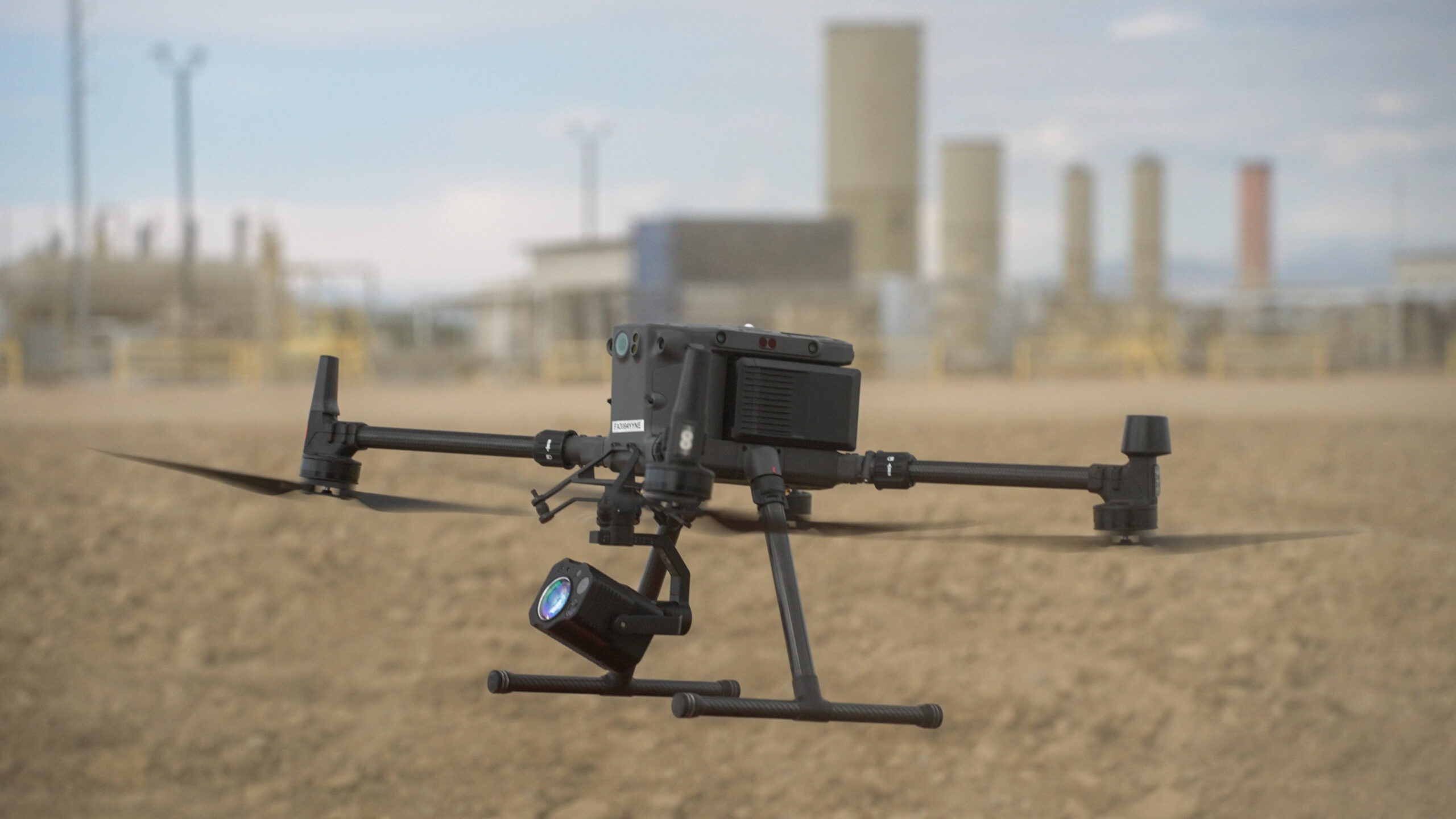
Technology-Driven Efficiency
Using our fleet of UAS (drones) and manned aircraft, we combine speed, coverage, and precision for comprehensive monitoring. Our patrols are optimized to:
Reduce inspection times across large linear assets
Provide near-real-time visibility into potential issues
Integrate easily into existing asset management and GIS platforms
Trusted by the Energy Sector
Arch Aerial LLC has partnered with leading midstream operators across the United States, offering dependable data and flexible patrol options tailored to your geographic footprint and regulatory needs.