Let us help you capture the most of your world.Aerial Mapping for Water Infrastructure Right of Ways
Accurate, Scalable Geospatial Mapping Solutions for Utilities and Municipal Water Systems
At Arch Aerial LLC, we provide precision aerial mapping services for water infrastructure rights-of-way (ROWs), enabling utility providers, municipalities, and engineering firms to efficiently document and plan water system upgrades, maintenance, and new construction. Our drone-based geospatial data collection supports better decision-making, compliance, and long-term asset management.
Get ‘ride-along-style’ visibility . . . but from your desktop, and in a format that you can easily share with your coworkers or stakeholders for your project.
Comprehensive Aerial Mapping for Water ROW Management
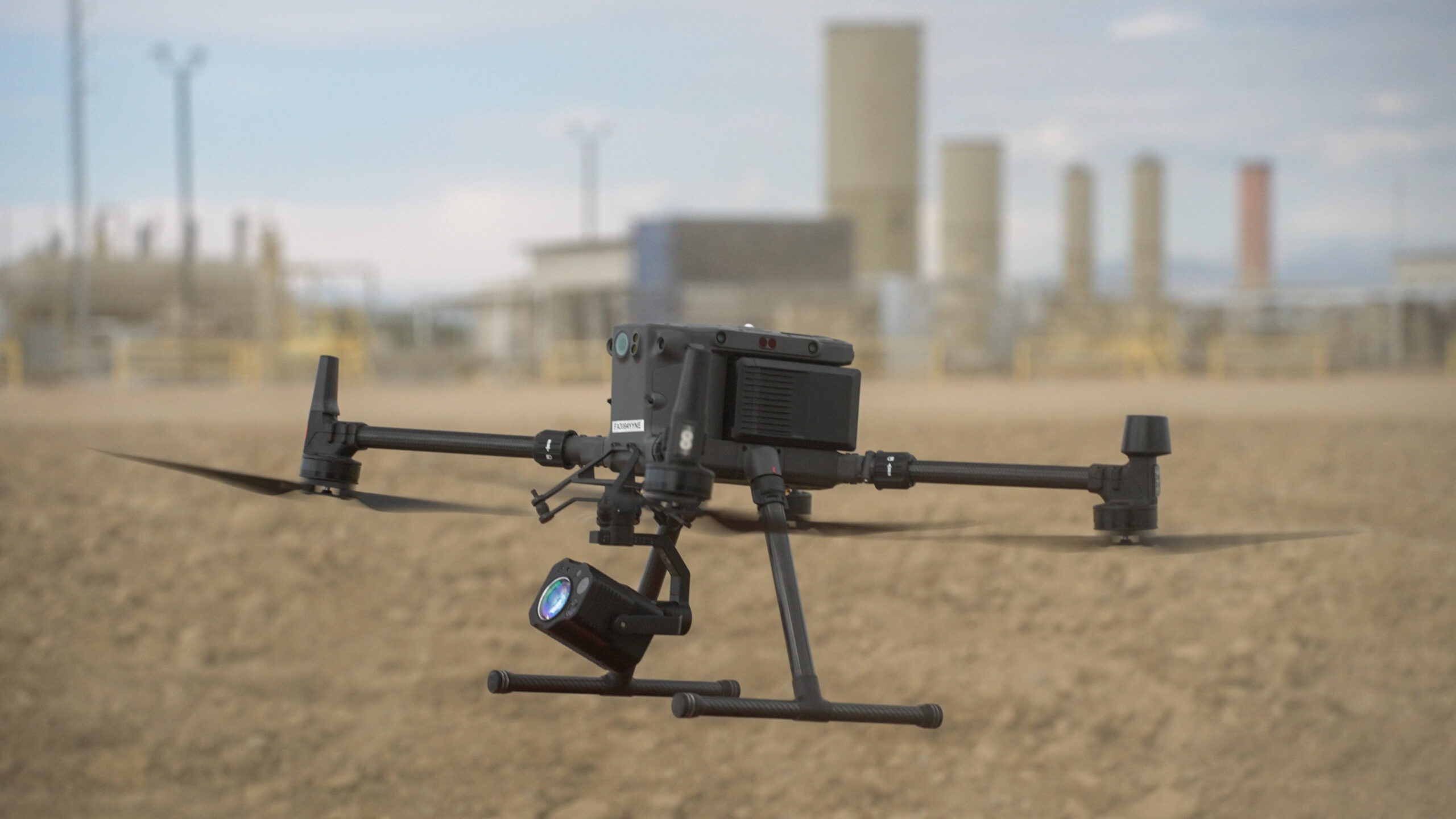
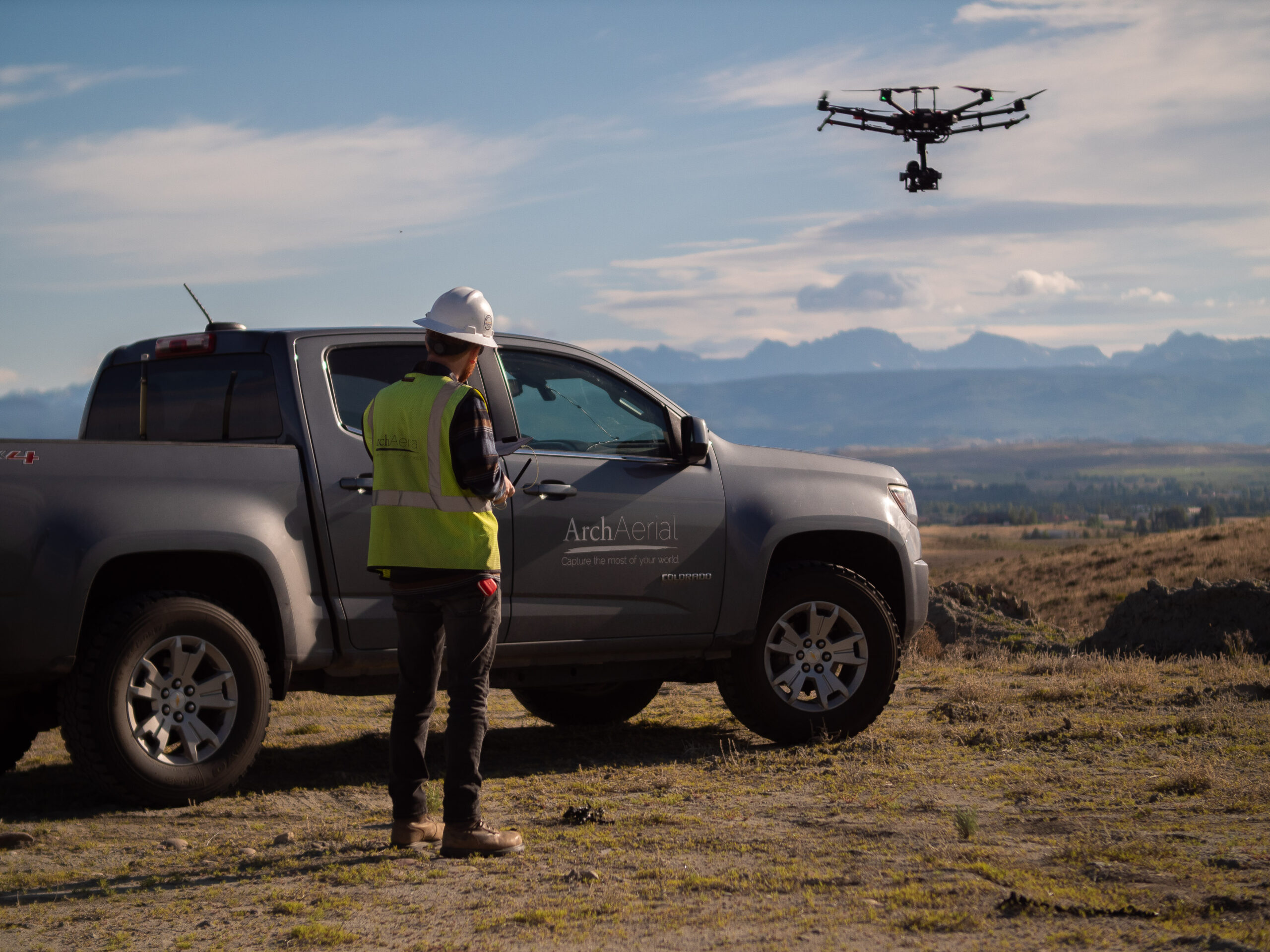
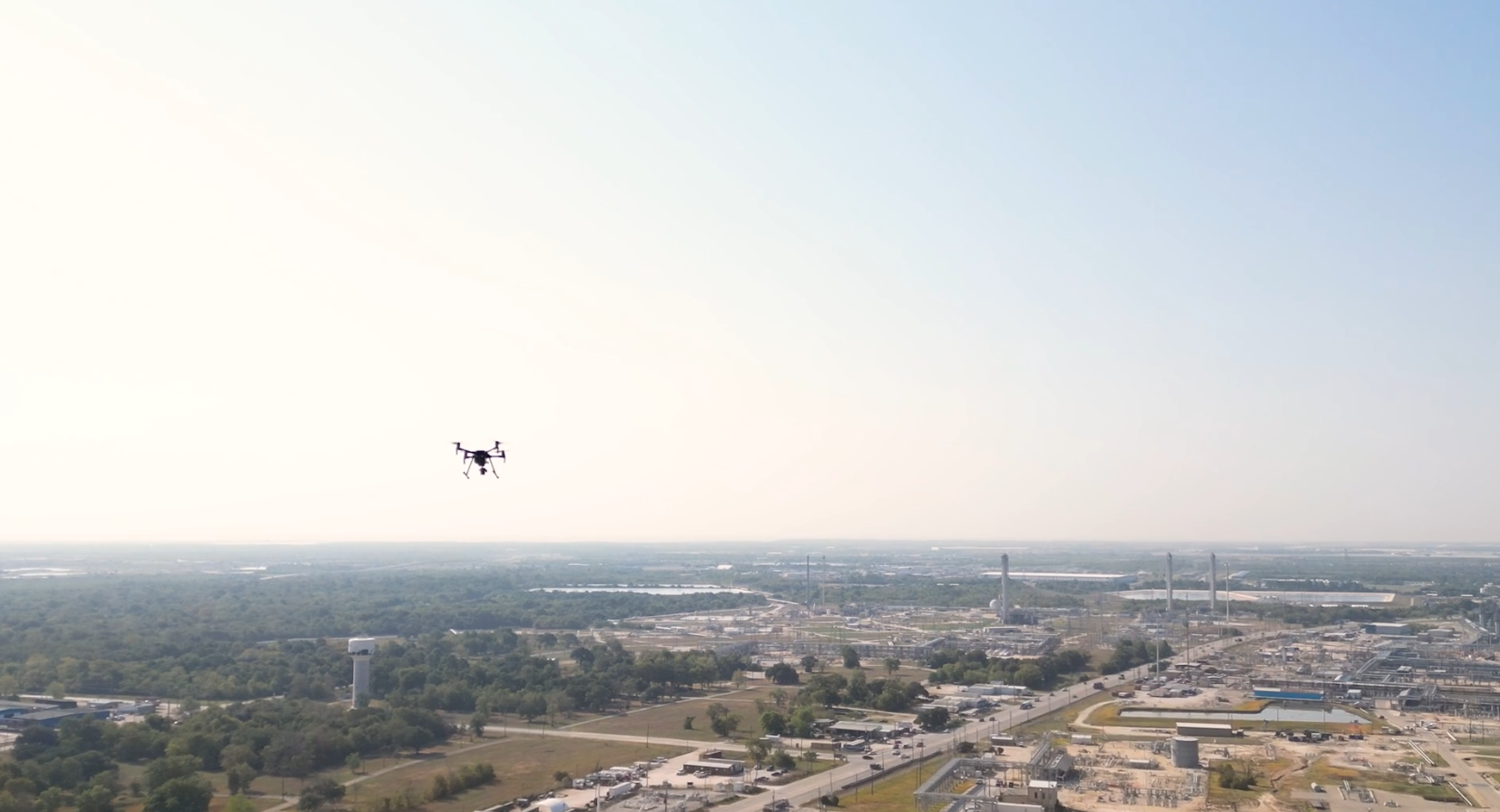
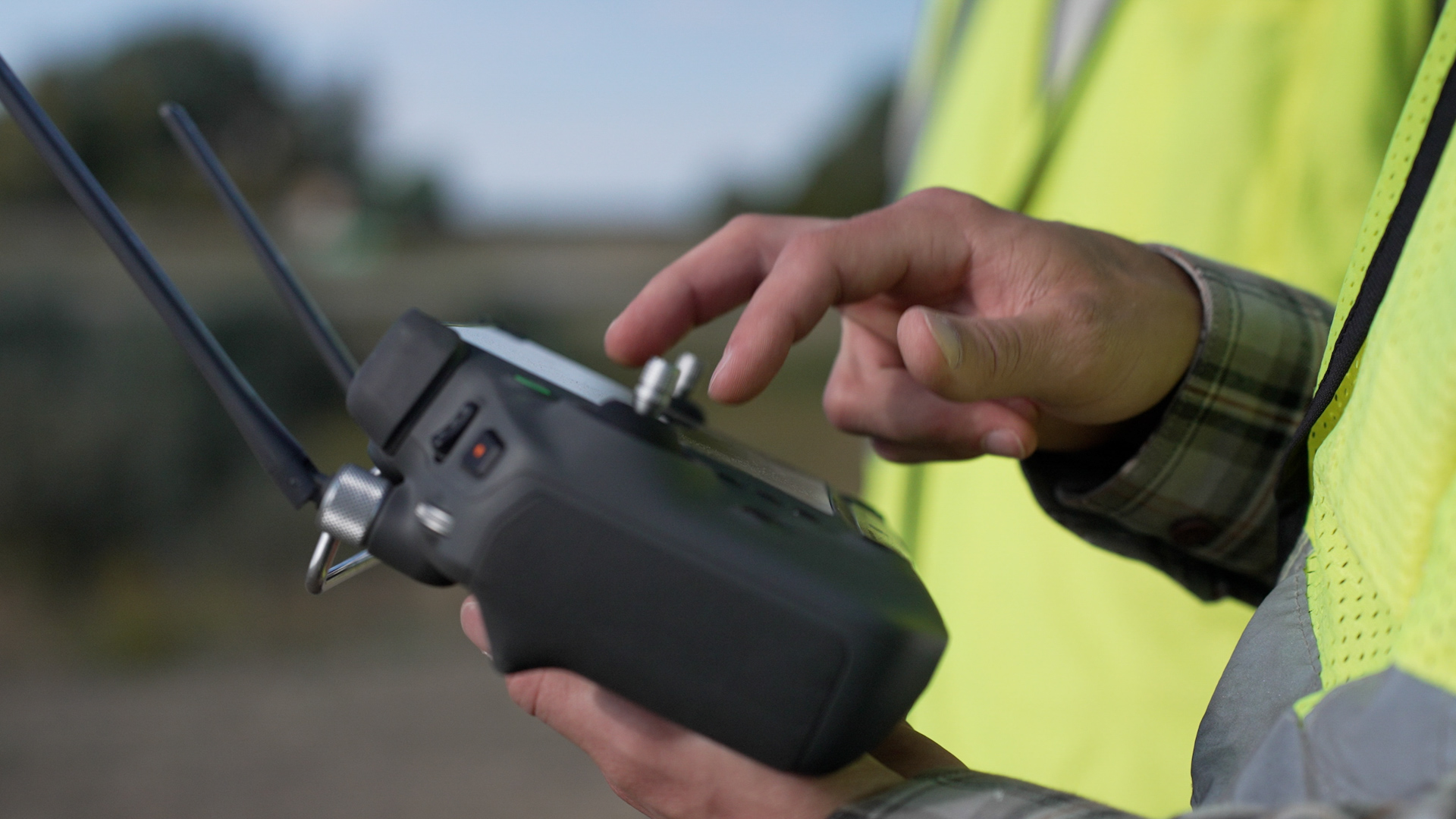
Using FAA-certified pilots, RTK-enabled UAVs, and GIS-integrated workflows, we deliver high-resolution orthomosaics, 3D surface models, and georeferenced datasets tailored for water infrastructure projects, including:
Water line route planning and documentation
Easement and ROW verification
Pre-construction base mapping
As-built mapping and updates
Utility corridor analysis
Environmental impact support and permitting
Why Choose Arch Aerial for Water ROW Mapping?
Utility-Focused Expertise – We understand the needs of municipal and private water infrastructure operators. High-Accuracy Data – Capture centimeter-level geospatial data using RTK/PPK and survey control workflows. GIS-Ready Deliverables – Receive orthomosaics, DEMs, contours, and shapefiles optimized for ArcGIS and CAD integration. Cost-Effective & Scalable – Cover large linear assets quickly and safely with minimal ground disturbance.
Supporting Smarter Water Infrastructure Planning
From rural water supply systems to dense municipal networks, our aerial mapping services offer a reliable, safe, and accurate way to manage rights-of-way and support the entire project lifecycle—from planning to permitting to post-construction documentation.
Ready to Map Smarter?
Partner with Arch Aerial LLC to streamline your water infrastructure ROW mapping with professional drone services and GIS-ready data. Contact us today to discuss your next project and see how we can support your operational goals.