Let us capture the most of your world.Aerial Mapping for Commercial & Industrial Construction
Accurate, High-Resolution Site Maps for Smarter Construction Planning
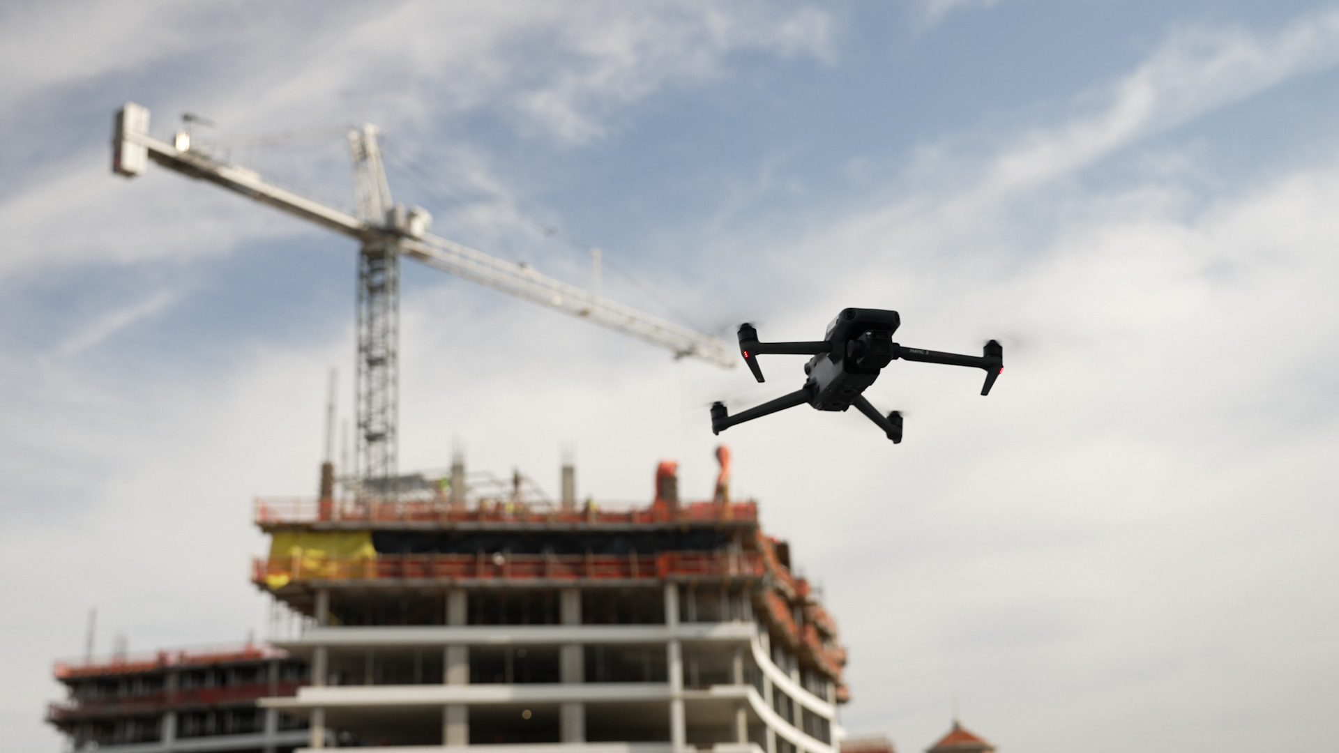
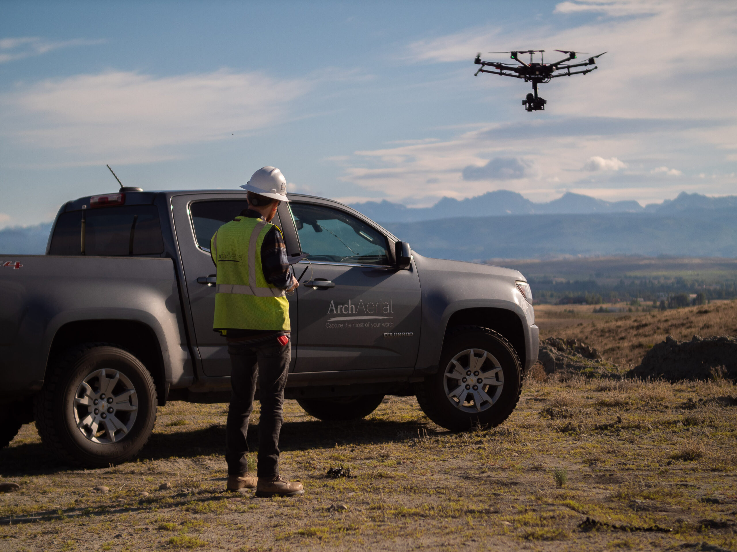
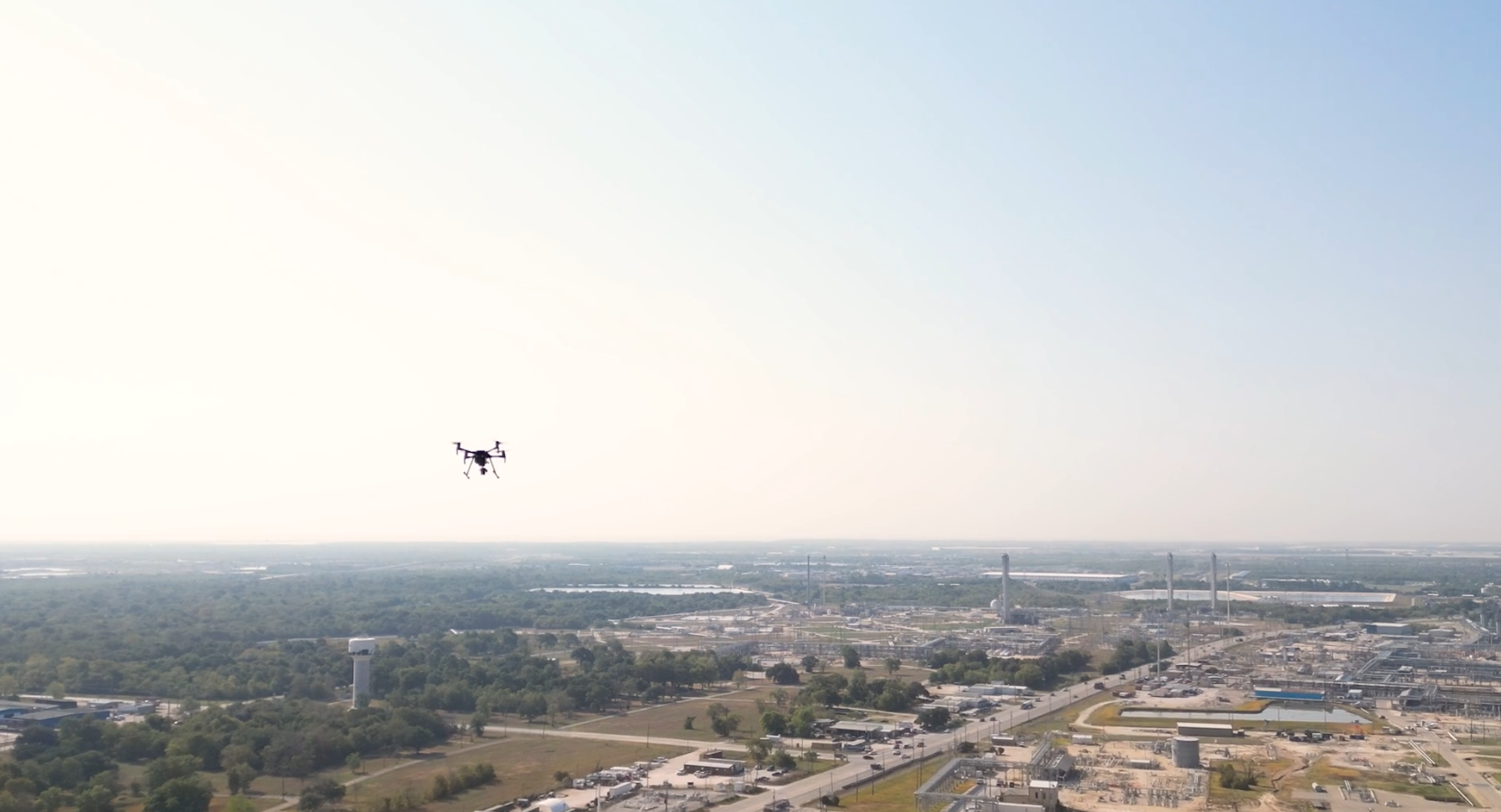
At Arch Aerial LLC, we deliver precise, drone-based aerial mapping solutions to support commercial and industrial general contractors (GCs) through every stage of construction. Our orthomosaic imagery, 2D/3D site models, and geospatial data help project teams plan more effectively, monitor progress, and reduce rework.
Drone Mapping Solutions for Construction Sites
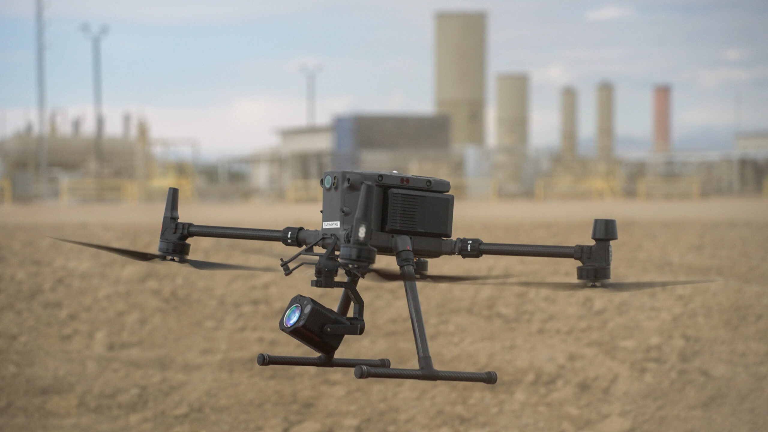
Using FAA-certified pilots and advanced drone platforms, we generate high-resolution maps and models that integrate seamlessly with your project workflows. Common construction mapping applications include:
Preconstruction site condition mapping
Cut/fill analysis and volumetric calculations
Topographic mapping for grading and layout
Orthomosaics for site documentation and as-builts
Integration with GIS, BIM, and CAD platforms
Progress mapping and comparisons over time
Why Choose Arch Aerial for Aerial Mapping?
Construction-Specific Expertise – We serve commercial and industrial GCs with mapping products built for real-world job sites. Survey-Grade Accuracy – Our drone mapping delivers high-resolution orthos and data layers tied to real-world coordinates. Time & Cost Savings – Replace manual surveying for large areas with fast, non-disruptive aerial collection. Actionable Deliverables – Receive usable formats like GeoTIFFs, point clouds, contour maps, and 3D models.
Build Smarter with High-Resolution Drone Maps
From pre-bid planning to final grading verification, our aerial construction mapping services help reduce guesswork and improve collaboration. Arch Aerial LLC delivers the data you need to build with confidence—on time and on budget.
Ready to Map Your Job Site from the Air?
Get accurate, up-to-date visuals and geospatial data with construction aerial mapping services from Arch Aerial LLC. Contact us today to schedule a drone mapping flight and see how we can support your project with powerful, precision-driven aerial data.